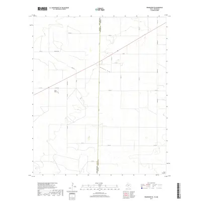
2019 Map of Prairieview SE
USGS Topo · Published 2019About this map
The high plains of the Llano Estacado define this portion of the New Mexico and Texas state line, where the landscape is marked by a grid of rural roads and the intermittent course of McKenzie Draw. This area, situated in Lea County, New Mexico, and Yoakum County, Texas, reflects the organized settlement patterns of the American West with its Public Land Survey System designations like t14s r38e. A key focal point for local history and genealogy is the Antioch Baptist Church Cem, located along Antioch Rd. The transportation network is built upon local thoroughfares such as Fort Rd, Spears Rd, and Edwards Rd, which connect the isolated homesteads and ranching interests characteristic of this borderland region. The map provides a precise look at the land before further modern development, showing the transition between these two states along FM 769.
Find a feature on this map
29 named features on this map. Tap any name to fly to it.
Don’t see what you’re looking for? This feature index may not catch every label — zoom into the map to look around manually.
Map Details
Editions of this 2019 Prairieview SE Map
This is the sole edition of this map. No revisions or reprints were ever made.
Other maps of this area

1954 · Hobbs
USGS Topo · 1:250,000

1954 · Brownfield
USGS Topo · 1:250,000

1958 · Brownfield
USGS Topo · 1:250,000

1958 · Hobbs
USGS Topo · 1:250,000

1962 · Brownfield
USGS Topo · 1:250,000

1969 · Humble City NE
USGS Topo · 1:24,000

1970 · Prairieview
USGS Topo · 1:24,000

1970 · Prairieview NE
USGS Topo · 1:24,000

1970 · Prairieview NW
USGS Topo · 1:24,000

1970 · Prairieview SE
USGS Topo · 1:24,000