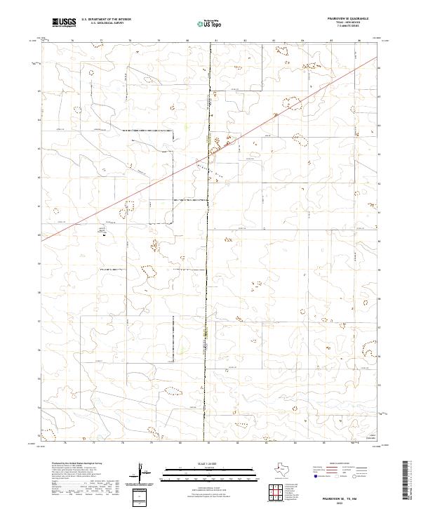
2022 Map of Prairieview SE
USGS Topo · Published 2022About this map
Llano Estacado terrain dominates this portion of the Texas-New Mexico border, where the vast High Plains landscape is etched by the seasonal drainage of McKenzie Draw. The map documents a sparse ranching and agricultural region defined by a precise grid of rural roads, including Fm 769 which runs directly along the state line between New Mexico and Texas. A significant focal point for local history and genealogy is the Antioch Baptist Church Cem, located near the junction of Antioch Rd and Fillingim Rd. Names like Baker, Hennington Rd, and Hensley Ln reflect the family legacies tied to these section lines in Yoakum County. The intersection of state and county boundaries here illustrates the geometric layout of the American West, where property and political lines often dictate the movement across the open plains.
Find a feature on this map
30 named features on this map. Tap any name to fly to it.
Don’t see what you’re looking for? This feature index may not catch every label — zoom into the map to look around manually.
Map Details
Editions of this 2022 Prairieview SE Map
This is the sole edition of this map. No revisions or reprints were ever made.
Other maps of this area

1954 · Hobbs
USGS Topo · 1:250,000

1954 · Brownfield
USGS Topo · 1:250,000

1958 · Brownfield
USGS Topo · 1:250,000

1958 · Hobbs
USGS Topo · 1:250,000

1962 · Brownfield
USGS Topo · 1:250,000

1969 · Humble City NE
USGS Topo · 1:24,000

1970 · Prairieview
USGS Topo · 1:24,000

1970 · Prairieview NE
USGS Topo · 1:24,000

1970 · Prairieview NW
USGS Topo · 1:24,000

1970 · Prairieview SE
USGS Topo · 1:24,000