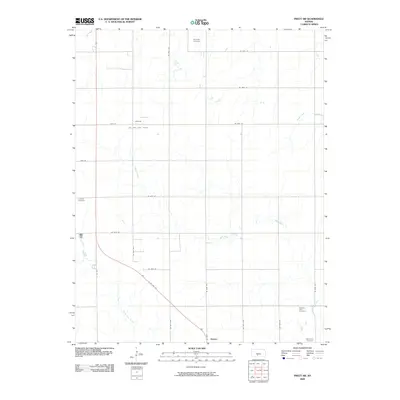
2009 Map of Pratt SW
USGS Topo · Published 2009About this map
Sawyer serves as the primary hub of this south-central Kansas landscape, situated where S US Hwy 281 intersects with Main St. The surrounding countryside is defined by an orderly grid of section roads and the winding paths of Sand Creek and North Elm Creek. The local economy is visibly shaped by natural resource extraction, centered on the Brehm Oil and Gas Field in the northwest portion of the map.
Find a feature on this map
26 named features on this map. Tap any name to fly to it.
Don’t see what you’re looking for? This feature index may not catch every label — zoom into the map to look around manually.
Map Details
Editions of this 2009 Pratt SW Map
This is the sole edition of this map. No revisions or reprints were ever made.
Other maps of this area

1891 · Medicine Lodge
USGS Topo · 1:125,000

1892 · Pratt
USGS Topo · 1:125,000

1893 · Medicine Lodge
USGS Topo · 1:125,000

1894 · Pratt
USGS Topo · 1:125,000

1955 · Pratt
USGS Topo · 1:250,000

1959 · Pratt
USGS Topo · 1:250,000

1967 · Cairo
USGS Topo · 1:24,000

1968 · Pratt SW
USGS Topo · 1:24,000

1968 · Pratt
USGS Topo · 1:24,000

1968 · Coats
USGS Topo · 1:24,000