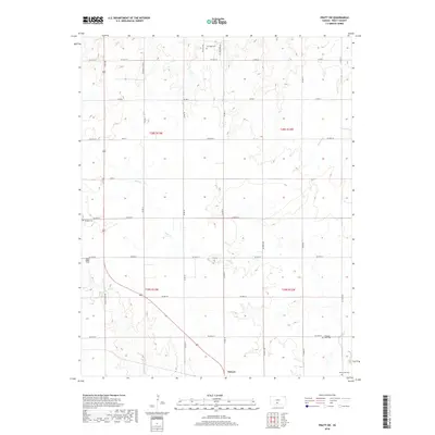
2018 Map of Pratt SW
USGS Topo · Published 2018About this map
Sawyer serves as the primary settlement within this section of Pratt County, situated at the junction of Coats Cutoff Rd and the local grid. The landscape is defined by the drainage patterns of several small waterways, including Sand Cr and Painter Cr, which carve through the plains. For genealogists and local historians, this survey provides the exact locations of four distinct burial sites: Saratoga Cem in the north, Ruddick Cem to the west, Pleasant View Cem in the southeast, and Ellenwood Cem near the southern boundary. The road network is largely a regular section-line grid, though routes like Country Club Rd and SE Lake Bend Dr indicate more specific local developments and access points within the township.
Find a feature on this map
39 named features on this map. Tap any name to fly to it.
Don’t see what you’re looking for? This feature index may not catch every label — zoom into the map to look around manually.
Map Details
Editions of this 2018 Pratt SW Map
This is the sole edition of this map. No revisions or reprints were ever made.
Other maps of this area

1891 · Medicine Lodge
USGS Topo · 1:125,000

1892 · Pratt
USGS Topo · 1:125,000

1893 · Medicine Lodge
USGS Topo · 1:125,000

1894 · Pratt
USGS Topo · 1:125,000

1955 · Pratt
USGS Topo · 1:250,000

1959 · Pratt
USGS Topo · 1:250,000

1967 · Cairo
USGS Topo · 1:24,000

1968 · Pratt SW
USGS Topo · 1:24,000

1968 · Pratt
USGS Topo · 1:24,000

1968 · Coats
USGS Topo · 1:24,000