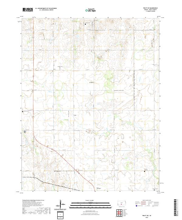
2022 Map of Pratt SW
USGS Topo · Published 2022About this map
Sawyer serves as the primary hub of this rural Pratt County landscape, situated at a major crossroads in the southern portion of the survey. The terrain is defined by the gentle drainage of several waterways, including Sand Cr, Painter Cr, and N Elm Cr, which dictate the local topography. For those researching family history or regional heritage, the map is remarkably dense with cemeteries, documenting several distinct burial sites such as Saratoga Cem, Ludwick Cem, Pleasant View Cem, and Ellenwood Cem. This distribution of rural cemeteries suggests a pattern of historic family farmsteads and established country communities that have long characterized this part of the Kansas wheat belt. The grid of roads, from S 1st Ave to Coats Cutoff Rd, illustrates a highly organized agricultural network typical of the plains.
Find a feature on this map
39 named features on this map. Tap any name to fly to it.
Don’t see what you’re looking for? This feature index may not catch every label — zoom into the map to look around manually.
Map Details
Editions of this 2022 Pratt SW Map
This is the sole edition of this map. No revisions or reprints were ever made.
Other maps of this area

1891 · Medicine Lodge
USGS Topo · 1:125,000

1892 · Pratt
USGS Topo · 1:125,000

1893 · Medicine Lodge
USGS Topo · 1:125,000

1894 · Pratt
USGS Topo · 1:125,000

1955 · Pratt
USGS Topo · 1:250,000

1959 · Pratt
USGS Topo · 1:250,000

1967 · Cairo
USGS Topo · 1:24,000

1968 · Pratt SW
USGS Topo · 1:24,000

1968 · Pratt
USGS Topo · 1:24,000

1968 · Coats
USGS Topo · 1:24,000