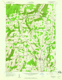
1942 Map of Prattsburg
USGS Topo · Published 1960About this map
Prattsburg serves as the primary hub of this 1942 landscape, where the agricultural valleys of Steuben and Yates Counties meet. The terrain is defined by dramatic depressions like Sugar Gully and Conklin Gully, which cut through the high elevations of West Hill and West Italy Hill. This era shows a well-established network of rural institutions, including School No 4 and School No 10, alongside family and community burial grounds such as Sugar Cem and Mooney Cem. The northern reach is dominated by the High Tor Game Management Area, reflecting a transition toward conservation in the uplands above Italy. Waterways like Flint Creek and Fivemile Creek dictate the placement of early settlements and roads, including the Italy-Naples Rd, providing a clear view of the Finger Lakes region's mid-century rural structure.
Find a feature on this map
29 named features on this map. Tap any name to fly to it.
Don’t see what you’re looking for? This feature index may not catch every label — zoom into the map to look around manually.
Map Details
Editions of this 1942 Prattsburg Map
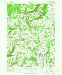
Other maps of this area

1900 · Naples
USGS Topo · 1:62,500

1903 · Naples
USGS Topo · 1:62,500

1903 · Penn Yan
USGS Topo · 1:62,500

1903 · Hammondsport
USGS Topo · 1:62,500

1910 · Bath
USGS Topo · 1:62,500

1913 · Naples
USGS Topo · 1:62,500

1942 · Naples
USGS Topo · 1:31,680

1942 · Prattsburg
USGS Topo · 1:31,680
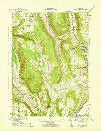
1942 · Bristol Springs
USGS Topo · 1:31,680

1942 · Pulteney
USGS Topo · 1:31,680