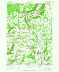
1942 Map of Prattsburg
USGS Topo · Published 1966About this map
Prattsburg serves as the primary hub of this 1940s landscape, situated where the valley floor transitions into the elevated terrain of West Hill. The map reflects a mid-century rural economy shaped by a network of creeks and deep incisions like Conklin Gully and Sugar Gully. This survey, compiled from 1942 aerial photography, captures the Finger Lakes region's upland character before significant modern development, emphasizing the relationship between high ridges and fertile valley bottoms.
Find a feature on this map
26 named features on this map. Tap any name to fly to it.
Don’t see what you’re looking for? This feature index may not catch every label — zoom into the map to look around manually.
Map Details
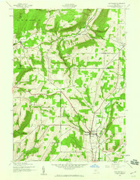
Editions of this 1942 Prattsburg Map
Other maps of this area

1900 · Naples
USGS Topo · 1:62,500

1903 · Naples
USGS Topo · 1:62,500

1903 · Penn Yan
USGS Topo · 1:62,500

1903 · Hammondsport
USGS Topo · 1:62,500

1910 · Bath
USGS Topo · 1:62,500

1913 · Naples
USGS Topo · 1:62,500

1942 · Naples
USGS Topo · 1:31,680

1942 · Prattsburg
USGS Topo · 1:31,680
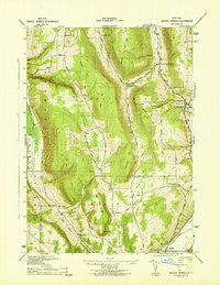
1942 · Bristol Springs
USGS Topo · 1:31,680

1942 · Pulteney
USGS Topo · 1:31,680