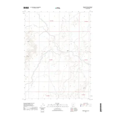
2017 Map of Prehistoric Rim
USGS Topo · Published 2017About this map
High desert drainage patterns dominate this high-plains landscape in the southwestern corner of Wyoming. The terrain is defined by the ephemeral flow of Sand Cr, which cuts through the arid basins typical of Sweetwater County's extensive public lands. Unlike more populated regions, the map highlights the vast, unpopulated character of the Western interior, focusing on the intricate topography of the prehistoric rim formations and the underlying survey grids of the Bureau of Land Management. This 2017 edition records the modern state of these remote watersheds, where the physical geography remains largely untouched by dense settlement or industrial infrastructure, offering a clear view of the natural drainage systems that have shaped the region for millennia.
Find a feature on this map
1 named feature on this map. Tap any name to fly to it.
Don’t see what you’re looking for? This feature index may not catch every label — zoom into the map to look around manually.
Map Details
Editions of this 2017 Prehistoric Rim Map
This is the sole edition of this map. No revisions or reprints were ever made.
Other maps of this area

1954 · Rock Springs
USGS Topo · 1:250,000

1958 · Rock Springs
USGS Topo · 1:250,000

1962 · Rock Springs
USGS Topo · 1:250,000

1970 · Prehistoric Rim
USGS Topo · 1:24,000
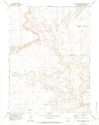
1970 · Powder Mountain NE
USGS Topo · 1:24,000

1970 · Manuel Gap
USGS Topo · 1:24,000
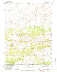
1970 · Powder Mountain
USGS Topo · 1:24,000
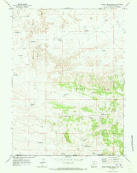
1970 · Upper Powder Spring
USGS Topo · 1:24,000
1970 · Barrel Springs SW
USGS Topo · 1:24,000
1970 · Monument Valley
USGS Topo · 1:24,000