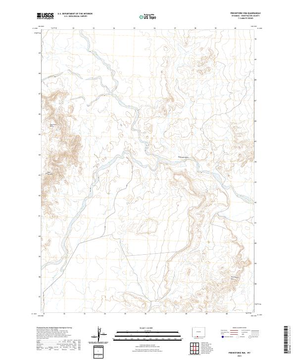
2021 Map of Prehistoric Rim
USGS Topo · Published 2021About this map
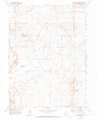
Prehistoric Rim and Skull Creek Rim define the high desert topography of this Sweetwater County landscape. The drainage patterns are clearly marked by the winding paths of Skull Cr and Sand Cr, which gather the occasional runoff from these arid elevations. In the central portion of the quadrangle, Haystack Wash carves a distinct channel through the terrain, while East Fork Point provides a prominent landmark overlooking the creek beds below. This 2021 survey offers a modern look at the public land survey system divisions across townships T13N through T15N, showing the precise grid that organizes this open rangeland. The absence of named settlements or heavy infrastructure emphasizes the remote character of this high-altitude Wyoming basin, where the primary features are geological and hydrological rather than man-made.
Find a feature on this map
12 named features on this map. Tap any name to fly to it.
Don’t see what you’re looking for? This feature index may not catch every label — zoom into the map to look around manually.
Map Details
Editions of this 2021 Prehistoric Rim Map
This is the sole edition of this map. No revisions or reprints were ever made.
Other maps of this area

1954 · Rock Springs
USGS Topo · 1:250,000

1958 · Rock Springs
USGS Topo · 1:250,000

1962 · Rock Springs
USGS Topo · 1:250,000

1970 · Prehistoric Rim
USGS Topo · 1:24,000
1970 · Powder Mountain NE
USGS Topo · 1:24,000

1970 · Manuel Gap
USGS Topo · 1:24,000
1970 · Powder Mountain
USGS Topo · 1:24,000
1970 · Upper Powder Spring
USGS Topo · 1:24,000
1970 · Barrel Springs SW
USGS Topo · 1:24,000
1970 · Monument Valley
USGS Topo · 1:24,000