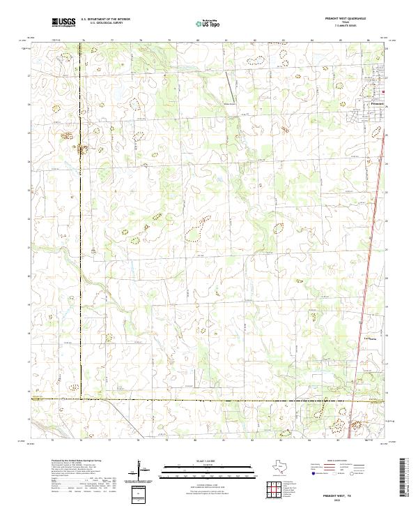
2022 Map of Premont West
USGS Topo · Published 2022About this map
Premont sits at the northern edge of this South Texas landscape where the boundaries of Jim Wells, Duval, and Brooks counties converge. The terrain is defined by an intricate network of intermittent drainage ways, including the prominent Los Olmos Cr and Cibolo Cr, which snake across a largely open ranching and agricultural expanse. The area reflects a rural South Texas infrastructure, anchored by US Hwy 281 as the primary north-south artery connecting the small settlement of La Gloria to the larger town center of Premont.
Find a feature on this map
65 named features on this map. Tap any name to fly to it.
Don’t see what you’re looking for? This feature index may not catch every label — zoom into the map to look around manually.
Map Details
Editions of this 2022 Premont West Map
This is the sole edition of this map. No revisions or reprints were ever made.
Other maps of this area

1921 · Falfurrias
USGS Topo · 1:125,000

1956 · Laredo
USGS Topo · 1:250,000

1963 · Flowella
USGS Topo · 1:24,000

1963 · Premont West
USGS Topo · 1:24,000
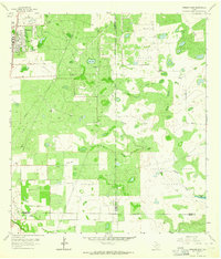
1963 · Premont East
USGS Topo · 1:24,000
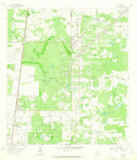
1963 · Ella
USGS Topo · 1:24,000

1963 · Falfurrias
USGS Topo · 1:24,000
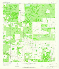
1963 · Seeligson Ranch
USGS Topo · 1:24,000

1968 · Concepcion
USGS Topo · 1:24,000

1968 · Palomas Ranch
USGS Topo · 1:24,000