
1963 Map of Premont West
USGS Topo · Published 1964About this map
The intersection of the Jim Wells, Duval, and Brooks county lines reveals a South Texas landscape defined by the mid-century energy boom and cattle ranching. The East Premont Oil Field and La Gloria Oil Field dominate the eastern half of the sheet, where extensive pipeline networks and a refinery underscore the industrial character of the 1960s. The town of Premont sits at the northern edge, supported by the Southern Pacific railroad line that runs south through La Gloria. Water sources like Los Olmos Creek and Cibolo Creek wind through the terrain, while landmarks such as the Drive-in Theater and La Gloria Sch provide glimpses into the local community life of the era. The presence of numerous pumping stations and radio towers suggests a region heavily integrated into the state's petroleum infrastructure.
Find a feature on this map
18 named features on this map. Tap any name to fly to it.
Don’t see what you’re looking for? This feature index may not catch every label — zoom into the map to look around manually.
Map Details
Editions of this 1963 Premont West Map
This is the sole edition of this map. No revisions or reprints were ever made.
Other maps of this area

1921 · Falfurrias
USGS Topo · 1:125,000

1956 · Laredo
USGS Topo · 1:250,000

1963 · Flowella
USGS Topo · 1:24,000
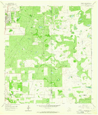
1963 · Premont East
USGS Topo · 1:24,000
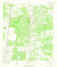
1963 · Ella
USGS Topo · 1:24,000

1963 · Falfurrias
USGS Topo · 1:24,000
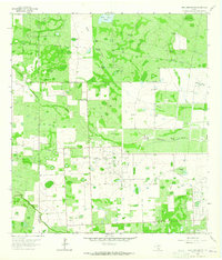
1963 · Seeligson Ranch
USGS Topo · 1:24,000

1968 · Concepcion
USGS Topo · 1:24,000

1968 · Palomas Ranch
USGS Topo · 1:24,000
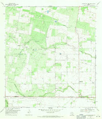
1969 · Laguna Del Toro
USGS Topo · 1:24,000