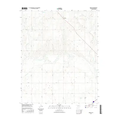
2016 Map of Prentiss
USGS Topo · Published 2016About this map
The N Fork Red River flows through the center of this Beckham County landscape, defining a wide valley surrounded by intricate drainage networks. To the north, the small settlement of Prentiss sits along Oklahoma State Highway 152, serving as a central point for a grid of section roads like E 1150 Rd and N 1780 Rd. The terrain is deeply dissected by numerous watercourses including Buffalo Cr, Cat Cr, and Starvation Cr, showing the erosive patterns common to this part of the Oklahoma plains. In the southeast, the Gyp Creek Site 2 Reservoir provides a notable water management feature near the Pioneer Cem, a site of significant interest for those tracing local family histories. The presence of I-40 Bus in the far southeast corner indicates the map's proximity to major regional transit corridors.
Find a feature on this map
22 named features on this map. Tap any name to fly to it.
Don’t see what you’re looking for? This feature index may not catch every label — zoom into the map to look around manually.
Map Details
Editions of this 2016 Prentiss Map
This is the sole edition of this map. No revisions or reprints were ever made.
Other maps of this area

1955 · Clinton
USGS Topo · 1:250,000

1957 · Clinton
USGS Topo · 1:250,000

1960 · Sweetwater
USGS Topo · 1:62,500

1960 · Sayre
USGS Topo · 1:62,500

1961 · Willow
USGS Topo · 1:62,500

1961 · Erick
USGS Topo · 1:62,500

1985 · Elk City
USGS Topo · 1:100,000
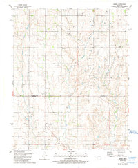
1988 · Grimes
USGS Topo · 1:24,000
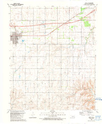
1989 · Erick
USGS Topo · 1:24,000
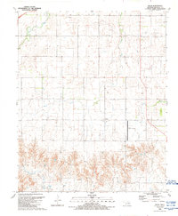
1989 · Delhi
USGS Topo · 1:24,000