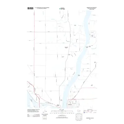
2013 Map of Prescott
USGS Topo · Published 2013About this map
The confluence of the Mississippi and St. Croix rivers dominates this 2013 survey of the border between Minnesota and Wisconsin. At the heart of the map is the historic settlement of Prescott, situated where Lake Saint Croix flows into the broader river valley. Directly across the water in Minnesota, the small community of Point Douglas sits near the shores of Conley Lake and Lake Rebecca. The landscape is defined by its dramatic glacial and fluvial topography, including Barkley Coulee and prominent elevations like Starks Mound and Dills Mound.
Find a feature on this map
81 named features on this map. Tap any name to fly to it.
Don’t see what you’re looking for? This feature index may not catch every label — zoom into the map to look around manually.
Map Details
Editions of this 2013 Prescott Map
This is the sole edition of this map. No revisions or reprints were ever made.
Other maps of this area

1944 · Red Wing
USGS Topo · 1:62,500

1946 · Hudson
USGS Topo · 1:62,500

1946 · River Falls
USGS Topo · 1:62,500

1949 · River Falls
USGS Topo · 1:62,500

1949 · Hudson
USGS Topo · 1:62,500

1949 · Lake Elmo
USGS Topo · 1:24,000

1949 · Hudson
USGS Topo · 1:24,000

1950 · Lake Elmo
USGS Topo · 1:24,000

1950 · Hudson
USGS Topo · 1:24,000

1950 · St Paul Park
USGS Topo · 1:24,000