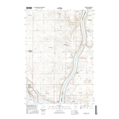
2015 Map of Prescott
USGS Topo · Published 2015About this map
The St. Croix River and Mississippi River confluence serves as the focal point of this 2015 study, illustrating the modern geography of the Minnesota-Wisconsin border. On the western bank, the Mississippi National River and Recreation Area encompasses the riverfront near Point Douglas, while the eastern Wisconsin side features the winding Kinnickinnic River emptying past the Kinnickinnic Sandbar. The landscape is a mix of agricultural plots and expanding residential corridors, particularly near Cottage Grove and the historic settlement of Afton.
Find a feature on this map
71 named features on this map. Tap any name to fly to it.
Don’t see what you’re looking for? This feature index may not catch every label — zoom into the map to look around manually.
Map Details
Editions of this 2015 Prescott Map
This is the sole edition of this map. No revisions or reprints were ever made.
Other maps of this area

1944 · Red Wing
USGS Topo · 1:62,500

1946 · Hudson
USGS Topo · 1:62,500

1946 · River Falls
USGS Topo · 1:62,500

1949 · River Falls
USGS Topo · 1:62,500

1949 · Hudson
USGS Topo · 1:62,500

1949 · Lake Elmo
USGS Topo · 1:24,000

1949 · Hudson
USGS Topo · 1:24,000

1950 · Lake Elmo
USGS Topo · 1:24,000

1950 · Hudson
USGS Topo · 1:24,000

1950 · St Paul Park
USGS Topo · 1:24,000