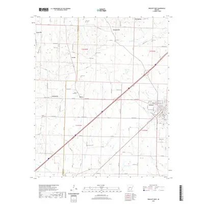
2020 Map of Prescott West
USGS Topo · Published 2020About this map
The Nevada County Courthouse anchors the city of Prescott, serving as a focal point for this portion of Southwest Arkansas. This area transitions from the structured street grid of the county seat to the sprawling timber and agricultural lands of the surrounding countryside. Small rural settlements like Arcadia, Midway, and Garlandville are connected by a network of county roads, such as Blevins Rd and Washington Rd, which reflect the long-standing community centers of the region.
Find a feature on this map
118 named features on this map. Tap any name to fly to it.
Don’t see what you’re looking for? This feature index may not catch every label — zoom into the map to look around manually.
Map Details
Editions of this 2020 Prescott West Map
This is the sole edition of this map. No revisions or reprints were ever made.
Other maps of this area
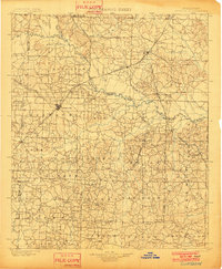
1901 · Gurdon
USGS Topo · 1:125,000
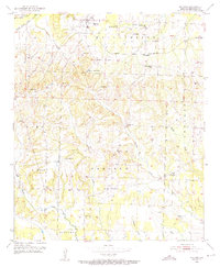
1951 · Blevins
USGS Topo · 1:24,000
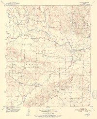
1951 · Pisgah
USGS Topo · 1:24,000
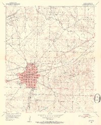
1951 · Hope
USGS Topo · 1:24,000

1953 · El Dorado
USGS Topo · 1:250,000

1957 · El Dorado
USGS Topo · 1:250,000

1958 · El Dorado
USGS Topo · 1:250,000

1960 · El Dorado
USGS Topo · 1:250,000
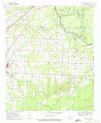
1970 · Prescott East
USGS Topo · 1:24,000
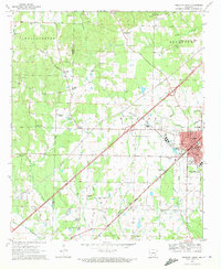
1970 · Prescott West
USGS Topo · 1:24,000