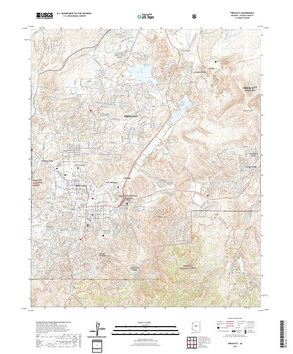
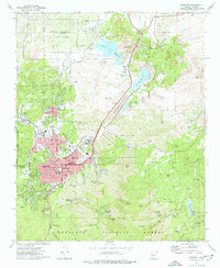
2021 Map of Prescott
USGS Topo · Published 2021About this map
Prescott serves as the central hub of this Arizona landscape, where urban development meets the expansive boundaries of the Prescott National Forest. The map documents a significant concentration of historical and institutional sites, including the Yavapai County Courthouse and the expansive grounds of Fort Whipple. The area's legacy of memory and service is visible through several major burial grounds, such as the Prescott National Cem and the Arizona Pioneers Home Cem.
Find a feature on this map
149 named features on this map. Tap any name to fly to it.
Don’t see what you’re looking for? This feature index may not catch every label — zoom into the map to look around manually.
Map Details
Editions of this 2021 Prescott Map
This is the sole edition of this map. No revisions or reprints were ever made.
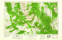
Historical Maps of Fort Whipple Through Time
13 maps found

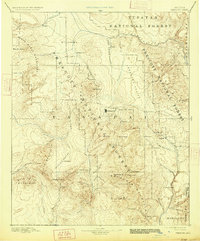
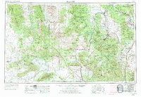
1887 Prescott
Yavapai County, AZ
1892 Prescott
Yavapai County, AZ
1947 Prescott
Yavapai County, AZ
1948 Prescott
Yavapai County, AZ

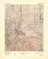
1950 Prescott
Yavapai County, AZ
1954 Prescott
Yavapai County, AZ

1958 Prescott
Yavapai County, AZ

1959 Prescott
Yavapai County, AZ
1960 Prescott
Yavapai County, AZ

1965 Prescott
Yavapai County, AZ
1973 Prescott
Yavapai County, AZ
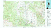
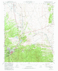
1981 Prescott
Yavapai County, AZ
2021 Prescott
Yavapai County, AZ