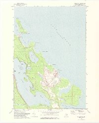
1971 Map of Presque Isle
USGS Topo · Published 1974About this map
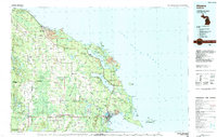
Presque Isle and its surrounding peninsula define this coastal landscape on Lake Huron during the early 1970s. The map highlights a diverse geography of inland lakes, including Lake Esau, Lotus Lake, and the eastern shoreline of Grand Lake. Navigational history is anchored by the Old Lighthouse and a nearby Old Lighthouse Grave, while the local economy is evidenced by a massive Quarry and the industrial facility at Stoneport. The layout of the land is shaped by recreational and natural preserves, such as the Besser Natural Area and Camp Chickagami Road. Numerous islands like Crescent Island and Grand Island dot the waters of North Bay and the larger lake system, while False Presque Isle creates a sheltered False Presque Isle Harbor to the south. This survey provides a clear view of the transition between developed industrial sites and preserved coastal wetlands.
Find a feature on this map
49 named features on this map. Tap any name to fly to it.
Don’t see what you’re looking for? This feature index may not catch every label — zoom into the map to look around manually.
Map Details
Editions of this 1971 Presque Isle Map
2 editions found
Other maps of this area

1954 · Alpena
USGS Topo · 1:250,000

1957 · Alpena
USGS Topo · 1:250,000

1958 · Alpena
USGS Topo · 1:250,000

1969 · Alpena
USGS Topo · 1:250,000
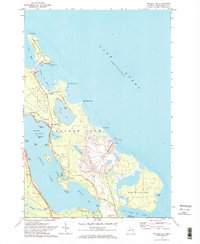
1971 · Presque Isle
USGS Topo · 1:24,000

1971 · Long Lake West
USGS Topo · 1:24,000
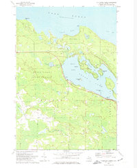
1971 · Thompsons Harbor
USGS Topo · 1:24,000

1971 · Middle Island
USGS Topo · 1:24,000
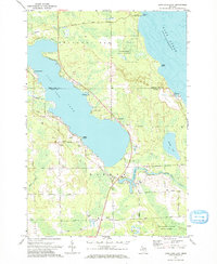
1971 · Long Lake East
USGS Topo · 1:24,000
1984 · Alpena
USGS Topo · 1:100,000
Featured Places
- Presque Isle, MI
- Presque Isle Township, MI
- Lafarge Limestone Quarry, MI
- Harbor View, MI
- Presque Isle County, MI