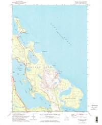
1971 Map of Presque Isle
USGS Topo · Published 1974About this map
The dual peninsulas of the Michigan coast dominate this 1971 survey, showcasing a landscape defined by maritime navigation and industrial extraction. The northern peninsula is anchored by a prominent Lighthouse at North Point and an Old Lighthouse overlooking Presque Isle Harbor, while the southern False Presque Isle remains largely undeveloped near the Besser Natural Area.
Find a feature on this map
51 named features on this map. Tap any name to fly to it.
Don’t see what you’re looking for? This feature index may not catch every label — zoom into the map to look around manually.
Map Details
Editions of this 1971 Presque Isle Map
2 editions found
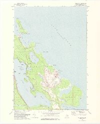
Other maps of this area

1954 · Alpena
USGS Topo · 1:250,000

1957 · Alpena
USGS Topo · 1:250,000

1958 · Alpena
USGS Topo · 1:250,000

1969 · Alpena
USGS Topo · 1:250,000

1971 · Long Lake West
USGS Topo · 1:24,000
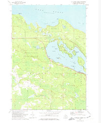
1971 · Thompsons Harbor
USGS Topo · 1:24,000

1971 · Middle Island
USGS Topo · 1:24,000
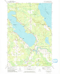
1971 · Long Lake East
USGS Topo · 1:24,000
1984 · Alpena
USGS Topo · 1:100,000
2011 · Middle Island
USGS Topo · 1:24,000
Featured Places
- Presque Isle, MI
- Presque Isle Township, MI
- Lafarge Limestone Quarry, MI
- Harbor View, MI
- Presque Isle County, MI