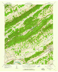
1940 Map of Pressmens Home
USGS Topo · Published 1959About this map
Rogersville serves as the focal point of this 1939 Tennessee Valley Authority field examination, situated south of the dramatic ridge lines of Clinch Mountain and Copper Ridge. The landscape is defined by its deep valley settlements and the early infrastructure of the Southern railroad and the Lee Highway. Along the northern slopes, the Trail of the Lonesome Pine follows the high ground of Poor Valley Ridge, while the namesake Pressmens Home community sits in a sheltered valley below Doubling Mountain.
Find a feature on this map
51 named features on this map. Tap any name to fly to it.
Don’t see what you’re looking for? This feature index may not catch every label — zoom into the map to look around manually.
Map Details
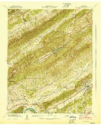
Editions of this 1940 Pressmens Home Map
2 editions found
Other maps of this area

1883 · Morristown
USGS Topo · 1:125,000

1887 · Jonesville
USGS Topo · 1:125,000

1891 · Jonesville
USGS Topo · 1:125,000

1892 · Greeneville
USGS Topo · 1:125,000

1893 · Morristown
USGS Topo · 1:125,000

1894 · Estillville
USGS Topo · 1:125,000

1895 · Morristown
USGS Topo · 1:125,000

1896 · Greeneville
USGS Topo · 1:125,000

1904 · Greeneville
USGS Topo · 1:125,000

1935 · Surgoinsville
USGS Topo · 1:48,000