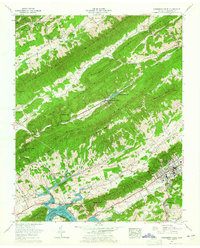
1961 Map of Pressmens Home
USGS Topo · Published 1965About this map
Pressmens Home stands as the central hub of this Hawkins County landscape, characterized by the alternating ridges and valleys of the Appalachians. The headquarters of the International Printing Pressmen and Assistants' Union of North America is shown here with its Memorial Chapel, Pressmens Home Cem, and swimming pool. To the south, the terrain descends into the basin of Cherokee Lake, where the Cherokee Reservation Boundary follows the winding shoreline of the Holston River.
Find a feature on this map
70 named features on this map. Tap any name to fly to it.
Don’t see what you’re looking for? This feature index may not catch every label — zoom into the map to look around manually.
Map Details
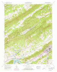
Editions of this 1961 Pressmens Home Map
2 editions found
Other maps of this area

1883 · Morristown
USGS Topo · 1:125,000

1887 · Jonesville
USGS Topo · 1:125,000

1891 · Jonesville
USGS Topo · 1:125,000

1892 · Greeneville
USGS Topo · 1:125,000

1893 · Morristown
USGS Topo · 1:125,000

1894 · Estillville
USGS Topo · 1:125,000

1895 · Morristown
USGS Topo · 1:125,000

1896 · Greeneville
USGS Topo · 1:125,000

1904 · Greeneville
USGS Topo · 1:125,000

1935 · Surgoinsville
USGS Topo · 1:48,000