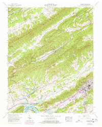
1961 Map of Camelot
USGS Topo · Published 1977About this map
The dramatic ridge-and-valley landscape of eastern Tennessee is captured here during a transitional period in the early 1960s, with later updates from the 1970s. Linear ridges like Clinch Mountain and Stone Mountain dictate the region's development, forcing settlements and roads into narrow corridors like Poor Valley and Pumpkin Valley. The northeastern corner of Cherokee Lake along the Holston River serves as a southern anchor, reflecting the impact of the Tennessee Valley Authority on the local geography.
Find a feature on this map
88 named features on this map. Tap any name to fly to it.
Don’t see what you’re looking for? This feature index may not catch every label — zoom into the map to look around manually.
Map Details
Editions of this 1961 Camelot Map
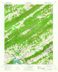
2 editions found
Other maps of this area

1883 · Morristown
USGS Topo · 1:125,000

1887 · Jonesville
USGS Topo · 1:125,000

1891 · Jonesville
USGS Topo · 1:125,000

1892 · Greeneville
USGS Topo · 1:125,000

1893 · Morristown
USGS Topo · 1:125,000

1894 · Estillville
USGS Topo · 1:125,000

1895 · Morristown
USGS Topo · 1:125,000

1896 · Greeneville
USGS Topo · 1:125,000

1904 · Greeneville
USGS Topo · 1:125,000

1935 · Surgoinsville
USGS Topo · 1:48,000