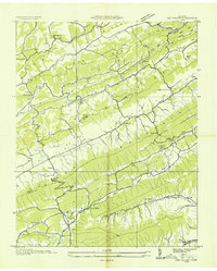
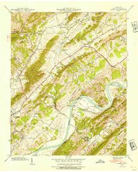
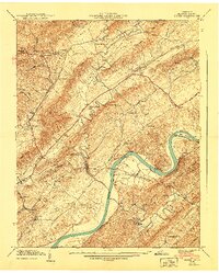
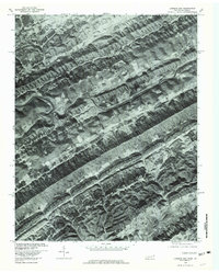
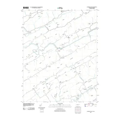
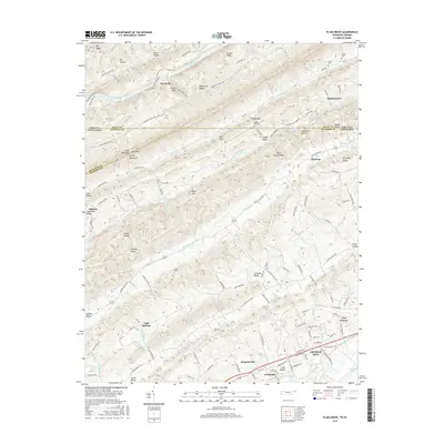
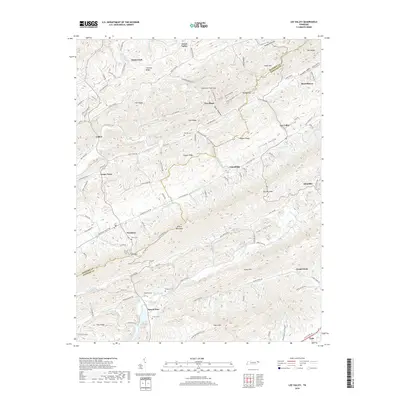
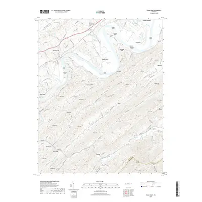
1939 Map of Stony Point
USGS Topo · Published 1988About this map
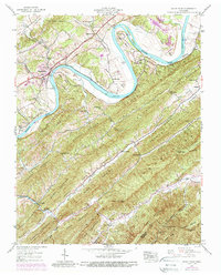
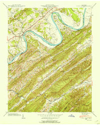
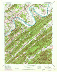
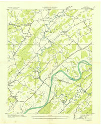
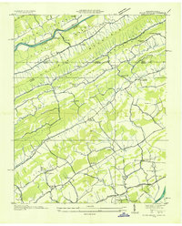
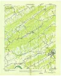
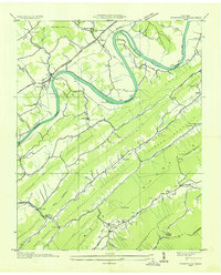
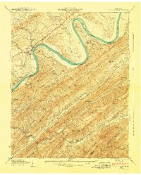
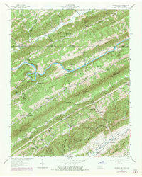
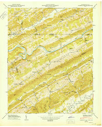
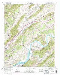
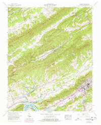
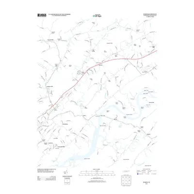
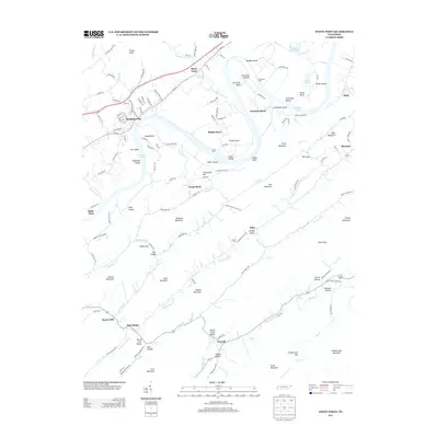
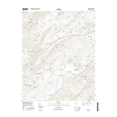
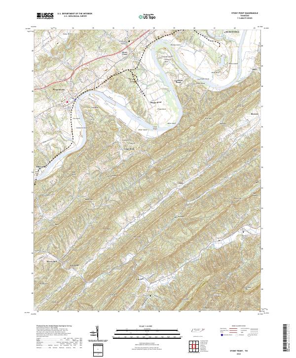
The Holston River carves a winding path through this corner of East Tennessee, defining a landscape of dramatic bends and fertile bottoms. Long-established communities like Stony Point and Surgoinsville sit along the river's northern banks, where the Southern Railway and the Lee Highway facilitate local commerce and transport. The river itself is punctuated by significant islands, including Miller Island and Cox Island, while the surrounding terrain is dominated by the steep ridges of Bays Mountain and War Creek Mountain.
Find a feature on this map
65 named features on this map. Tap any name to fly to it.
Don’t see what you’re looking for? This feature index may not catch every label — zoom into the map to look around manually.
Map Details
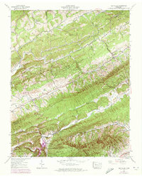
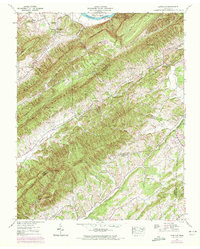
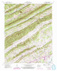
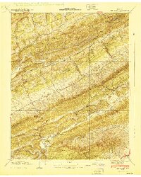
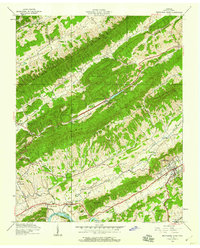
Editions of this 1939 Stony Point Map
3 editions found
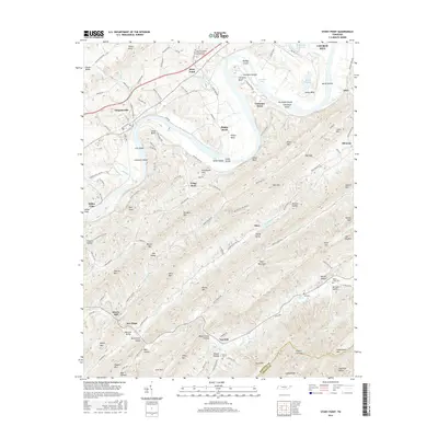
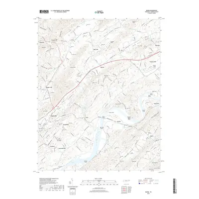
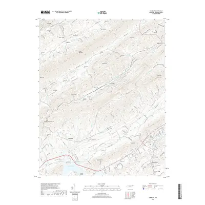
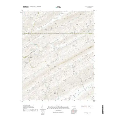
Historical Maps of Church Hill Through Time
56 maps found
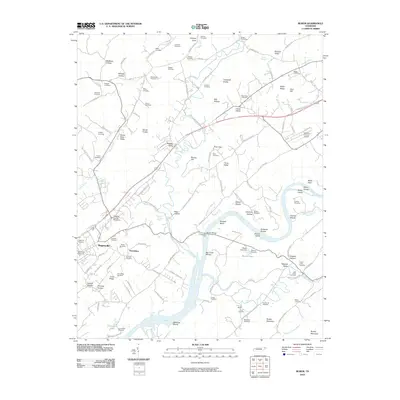
1935 Burem
Hawkins County, TN
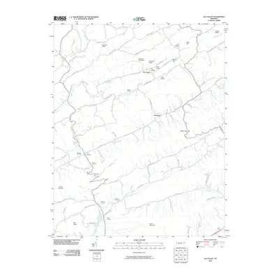
1935 Lee Valley
Hawkins County, TN

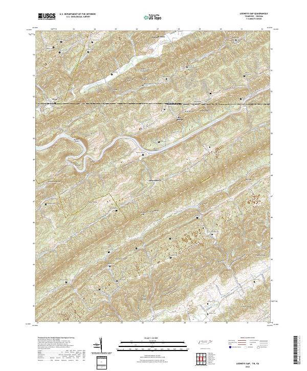
1935 Looneys Gap
Hawkins County, TN

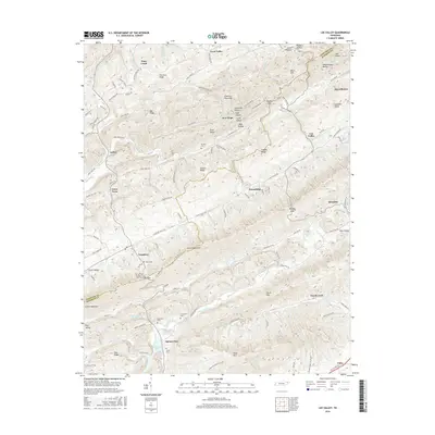
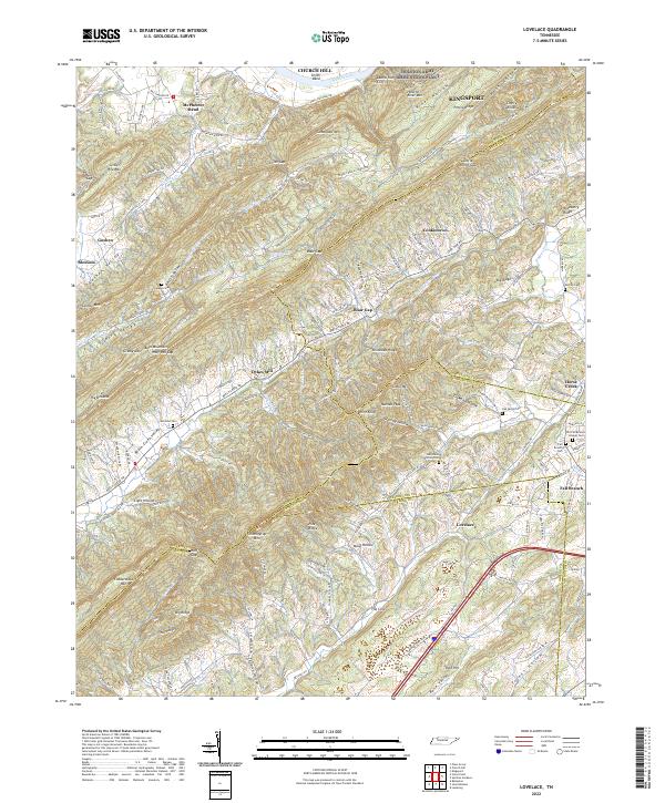
1935 Lovelace
Hawkins County, TN
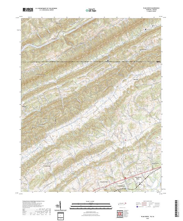
1935 Plum Grove
Hawkins County, TN
1935 Pressmens Home
Hawkins County, TN
1935 Stonypoint
Hawkins County, TN
1939 Burem
Hawkins County, TN
1939 Lee Valley
Hawkins County, TN
1939 Lovelace
Hawkins County, TN
1939 Plum Grove
Hawkins County, TN
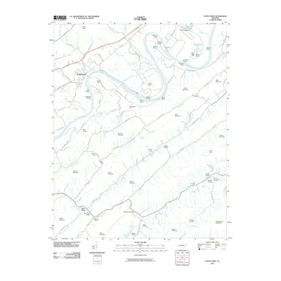
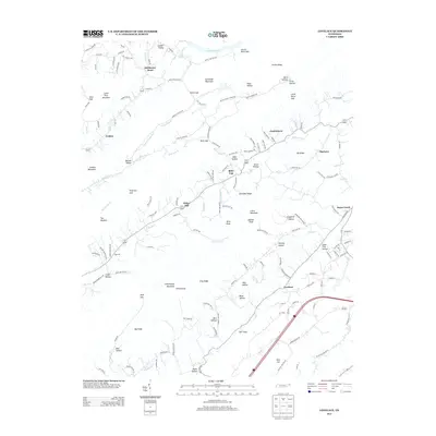
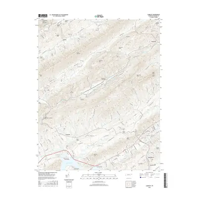
1939 Stony Point
Hawkins County, TN
1940 Burem
Hawkins County, TN
1940 Lee Valley
Hawkins County, TN
1940 Pressmens Home
Hawkins County, TN
1940 Stony Point
Hawkins County, TN
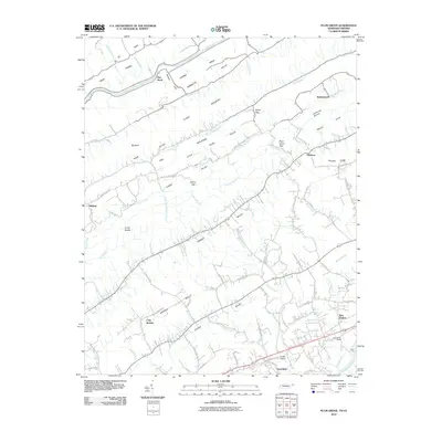
1947 Looneys Gap
Hawkins County, TN
1950 Looneys Gap
Hawkins County, TN
1961 Burem
Hawkins County, TN
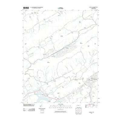
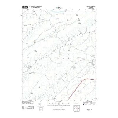
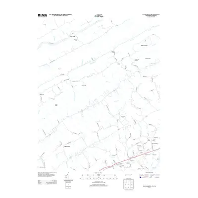
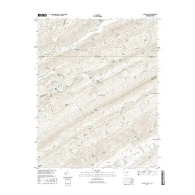
1961 Camelot
Hawkins County, TN
1976 Looneys Gap
Hawkins County, TN
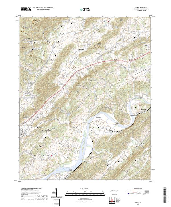
2010 Burem
Hawkins County, TN
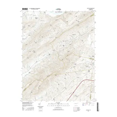
2010 Camelot
Hawkins County, TN
2010 Lee Valley
Hawkins County, TN
2010 Looneys Gap
Hawkins County, TN
2010 Lovelace
Hawkins County, TN
2010 Plum Grove
Hawkins County, TN
2010 Stony Point
Hawkins County, TN
2013 Burem
Hawkins County, TN
2013 Camelot
Hawkins County, TN
2013 Lee Valley
Hawkins County, TN
2013 Looneys Gap
Hawkins County, TN
2013 Lovelace
Hawkins County, TN
2013 Plum Grove
Hawkins County, TN
2013 Stony Point
Hawkins County, TN
2016 Burem
Hawkins County, TN
2016 Camelot
Hawkins County, TN
2016 Lee Valley
Hawkins County, TN
2016 Looneys Gap
Hawkins County, TN
2016 Lovelace
Hawkins County, TN
2016 Plum Grove
Hawkins County, TN
2016 Stony Point
Hawkins County, TN
2019 Burem
Hawkins County, TN
2019 Camelot
Hawkins County, TN
2019 Lee Valley
Hawkins County, TN
2019 Looneys Gap
Hawkins County, TN
2019 Lovelace
Hawkins County, TN
2019 Plum Grove
Hawkins County, TN
2019 Stony Point
Hawkins County, TN
2022 Burem
Hawkins County, TN
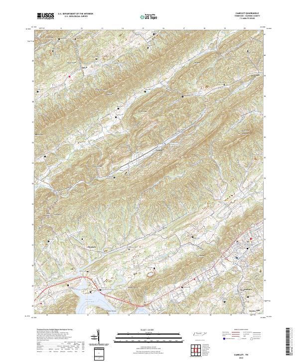
2022 Camelot
Hawkins County, TN
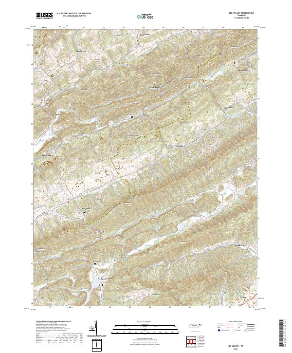
2022 Lee Valley
Hawkins County, TN
2022 Looneys Gap
Hawkins County, TN
2022 Lovelace
Hawkins County, TN
2022 Plum Grove
Hawkins County, TN
2022 Stony Point
Hawkins County, TN