
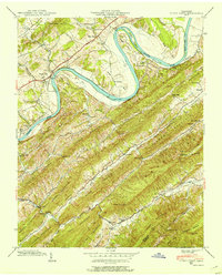
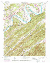
1939 Map of Stony Point
USGS Topo · Published 1972About this map
The Holston River carves a dramatic, winding path through this corner of East Tennessee, defining the landscape with significant oxbows at Phipps Bend and Christian Bend. Surveyed in 1939 with revisions into the early 1970s, the map reveals a rural economy centered on the river and its fertile bottoms, such as Cox Island and Miller Island. Local life is anchored by small settlements like Stony Point and Surgoinsville, with historical markers of 19th-century industry and community like Mowls Mill, Maxwell Academy, and Smith Chapel.
Find a feature on this map
58 named features on this map. Tap any name to fly to it.
Don’t see what you’re looking for? This feature index may not catch every label — zoom into the map to look around manually.
Map Details
Editions of this 1939 Stony Point Map
3 editions found
Other maps of this area

1892 · Greeneville
USGS Topo · 1:125,000

1894 · Estillville
USGS Topo · 1:125,000

1896 · Greeneville
USGS Topo · 1:125,000

1904 · Greeneville
USGS Topo · 1:125,000

1935 · Surgoinsville
USGS Topo · 1:48,000

1935 · Baileyton
USGS Topo · 1:24,000

1935 · Lovelace
USGS Topo · 1:24,000

1935 · Moggasin
USGS Topo · 1:48,000

1935 · Looneys Gap
USGS Topo · 1:24,000

1935 · McCloud
USGS Topo · 1:24,000