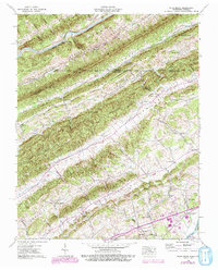
1939 Map of Plum Grove
USGS Topo · Published 1993About this map
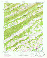
Poor Valley Mountain and Poor Valley dominate this terrain on the Tennessee-Virginia border, where the landform dictates a distinct linear settlement pattern. In this 1939 Tennessee Valley Authority field survey, edited in 1991, the landscape is defined by parallel ridges like Copper Ridge and Big Ridge, separated by fertile corridors such as Stanley Valley and Caney Valley. These lowlands contain the heart of the area's rural life, anchored by numerous country churches including Amis Chapel, Oakdale Ch, and Piney Grove Ch.
Find a feature on this map
51 named features on this map. Tap any name to fly to it.
Don’t see what you’re looking for? This feature index may not catch every label — zoom into the map to look around manually.
Map Details
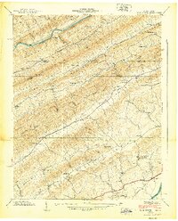
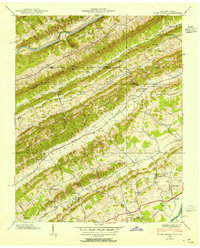
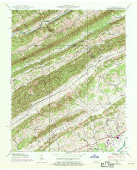
Editions of this 1939 Plum Grove Map
5 editions found
Other maps of this area

1892 · Greeneville
USGS Topo · 1:125,000

1894 · Estillville
USGS Topo · 1:125,000

1896 · Greeneville
USGS Topo · 1:125,000

1904 · Greeneville
USGS Topo · 1:125,000

1935 · Surgoinsville
USGS Topo · 1:48,000

1935 · Lovelace
USGS Topo · 1:24,000

1935 · Moggasin
USGS Topo · 1:48,000

1935 · Looneys Gap
USGS Topo · 1:24,000

1935 · Clinchport
USGS Topo · 1:24,000
1935 · Duffield
USGS Topo · 1:24,000