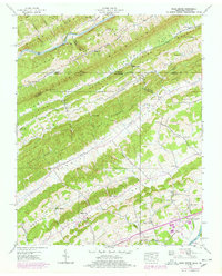
1939 Map of Plum Grove
USGS Topo · Published 1978About this map
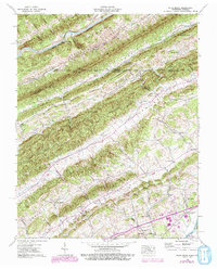
Clinch River and the Holston River define the northern and southern limits of this Appalachian landscape, where the ridges of Copper Ridge and Pine Mountain dictate the flow of settlement. The 1939 field data, updated with mid-1970s photogrammetric details, reveals a rural network of small communities like Bellamytown and New Canton linked by the Lee Highway. Local history is anchored by several country churches, including Amis Chapel and Fudge Chapel, while the Southern railroad line and the New Canton Siding reflect the importance of rail transport for this corner of Stanley Valley. The map also documents the complex boundary lines where Scott and Hancock counties in Virginia meet Hawkins County in Tennessee.
Find a feature on this map
63 named features on this map. Tap any name to fly to it.
Don’t see what you’re looking for? This feature index may not catch every label — zoom into the map to look around manually.
Map Details
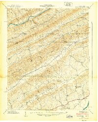
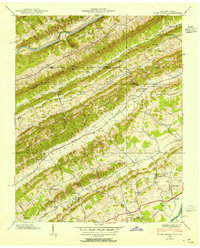
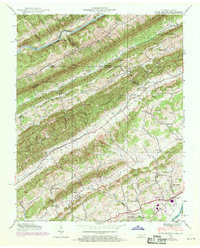
Editions of this 1939 Plum Grove Map
5 editions found
Other maps of this area

1892 · Greeneville
USGS Topo · 1:125,000

1894 · Estillville
USGS Topo · 1:125,000

1896 · Greeneville
USGS Topo · 1:125,000

1904 · Greeneville
USGS Topo · 1:125,000

1935 · Surgoinsville
USGS Topo · 1:48,000

1935 · Lovelace
USGS Topo · 1:24,000

1935 · Moggasin
USGS Topo · 1:48,000

1935 · Looneys Gap
USGS Topo · 1:24,000

1935 · Clinchport
USGS Topo · 1:24,000
1935 · Duffield
USGS Topo · 1:24,000