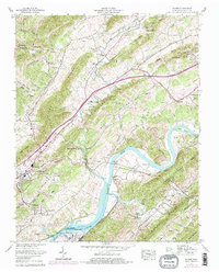
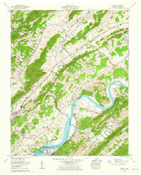
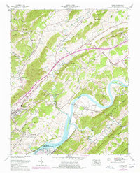
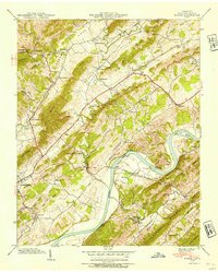
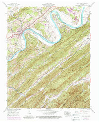
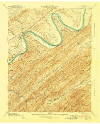
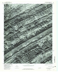
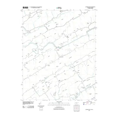
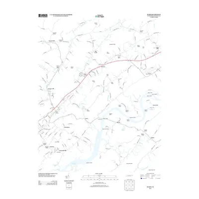
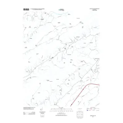
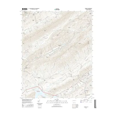
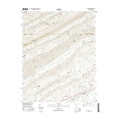
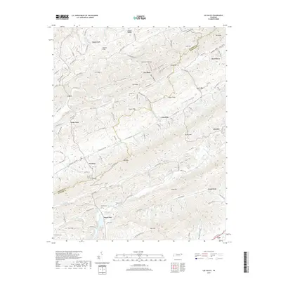
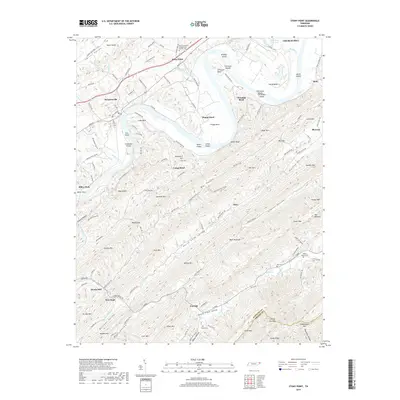
1961 Map of Burem
USGS Topo · Published 1977About this map
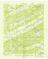
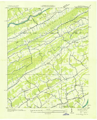
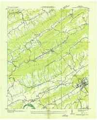
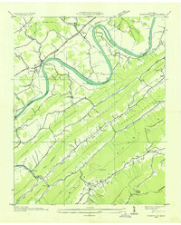
The Holston River carves a winding path through this corner of Hawkins County, defining a landscape where industrial development meets deep-rooted Appalachian settlements. Near the western edge, Rogersville serves as a primary hub, while the John Sevier Steam Plant and the John Sevier Detention Reservoir signal the mid-century infrastructure expansion managed by the Tennessee Valley Authority. This 1961 survey, later photorevised, preserves the locations of numerous family cemeteries such as Gillenwater Cem and Klepper Cem, alongside landmarks like the Ebbing and Flowing Spring. Transport is anchored by the Lee Highway and the Southern Railway, which parallel the river as they connect smaller communities like Burem, Guntown, and Surgoinsville. The topography transitions from the alluvial bottomlands of Miller Island to the prominent ridges of Stone Mtn and the Gravelly Knobs.
Find a feature on this map
81 named features on this map. Tap any name to fly to it.
Don’t see what you’re looking for? This feature index may not catch every label — zoom into the map to look around manually.
Map Details
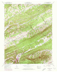
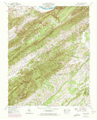
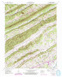
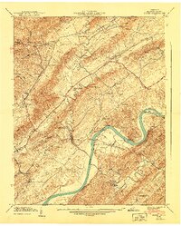
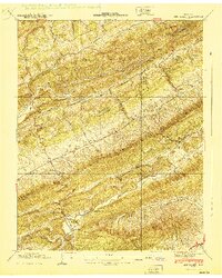
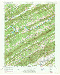
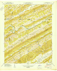
Editions of this 1961 Burem Map
3 editions found
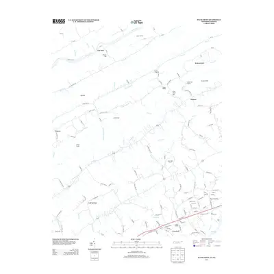
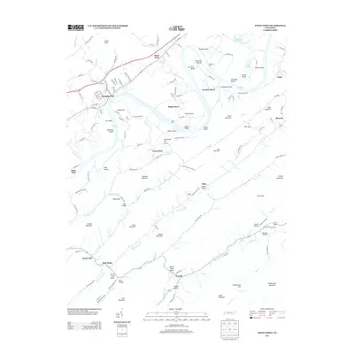
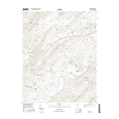
Historical Maps of Rogersville Through Time
56 maps found
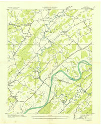
1935 Burem
Hawkins County, TN
1935 Lee Valley
Hawkins County, TN

1935 Looneys Gap
Hawkins County, TN

1935 Lovelace
Hawkins County, TN
1935 Plum Grove
Hawkins County, TN
1935 Pressmens Home
Hawkins County, TN
1935 Stonypoint
Hawkins County, TN
1939 Burem
Hawkins County, TN
1939 Lee Valley
Hawkins County, TN
1939 Lovelace
Hawkins County, TN
1939 Plum Grove
Hawkins County, TN
1939 Stony Point
Hawkins County, TN
1940 Burem
Hawkins County, TN
1940 Lee Valley
Hawkins County, TN
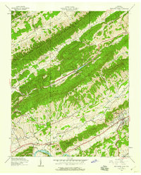
1940 Pressmens Home
Hawkins County, TN
1940 Stony Point
Hawkins County, TN
1947 Looneys Gap
Hawkins County, TN
1950 Looneys Gap
Hawkins County, TN
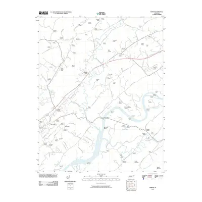
1961 Burem
Hawkins County, TN
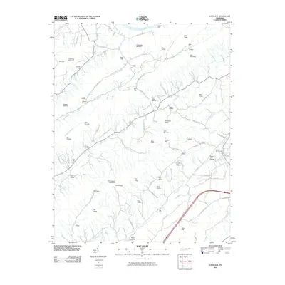
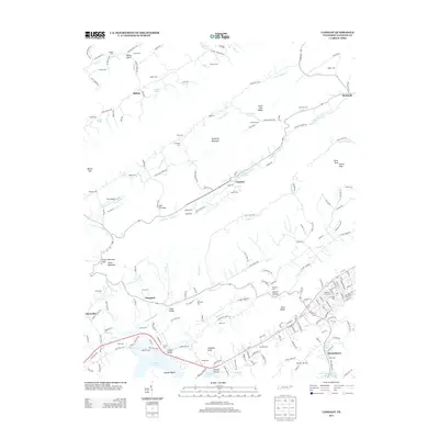
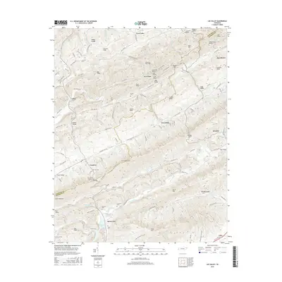
1961 Camelot
Hawkins County, TN
1976 Looneys Gap
Hawkins County, TN
2010 Burem
Hawkins County, TN
2010 Camelot
Hawkins County, TN
2010 Lee Valley
Hawkins County, TN
2010 Looneys Gap
Hawkins County, TN
2010 Lovelace
Hawkins County, TN
2010 Plum Grove
Hawkins County, TN
2010 Stony Point
Hawkins County, TN
2013 Burem
Hawkins County, TN
2013 Camelot
Hawkins County, TN
2013 Lee Valley
Hawkins County, TN
2013 Looneys Gap
Hawkins County, TN
2013 Lovelace
Hawkins County, TN
2013 Plum Grove
Hawkins County, TN
2013 Stony Point
Hawkins County, TN
2016 Burem
Hawkins County, TN
2016 Camelot
Hawkins County, TN
2016 Lee Valley
Hawkins County, TN
2016 Looneys Gap
Hawkins County, TN
2016 Lovelace
Hawkins County, TN
2016 Plum Grove
Hawkins County, TN
2016 Stony Point
Hawkins County, TN
2019 Burem
Hawkins County, TN
2019 Camelot
Hawkins County, TN
2019 Lee Valley
Hawkins County, TN
2019 Looneys Gap
Hawkins County, TN
2019 Lovelace
Hawkins County, TN
2019 Plum Grove
Hawkins County, TN
2019 Stony Point
Hawkins County, TN
2022 Burem
Hawkins County, TN
2022 Camelot
Hawkins County, TN
2022 Lee Valley
Hawkins County, TN
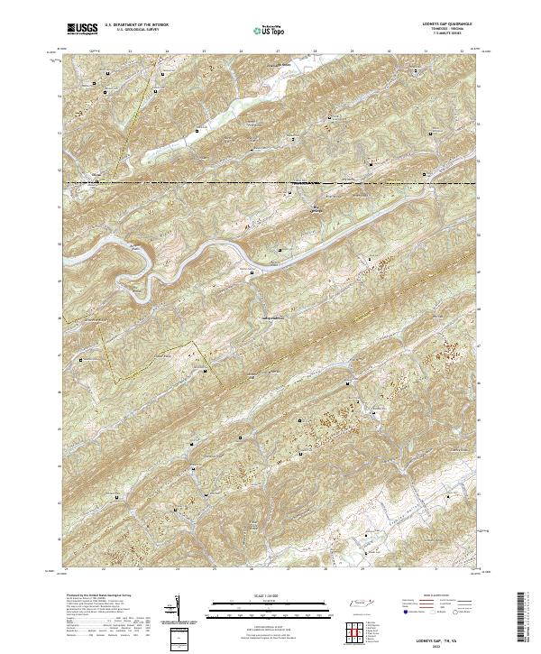
2022 Looneys Gap
Hawkins County, TN
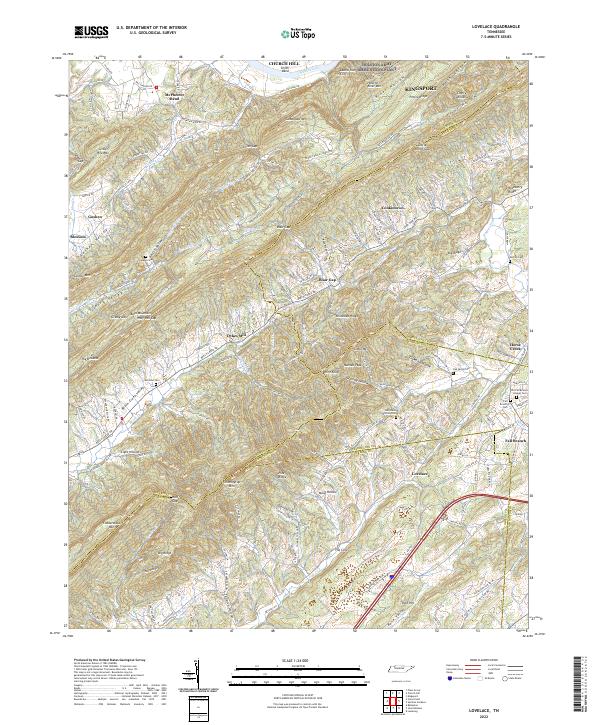
2022 Lovelace
Hawkins County, TN
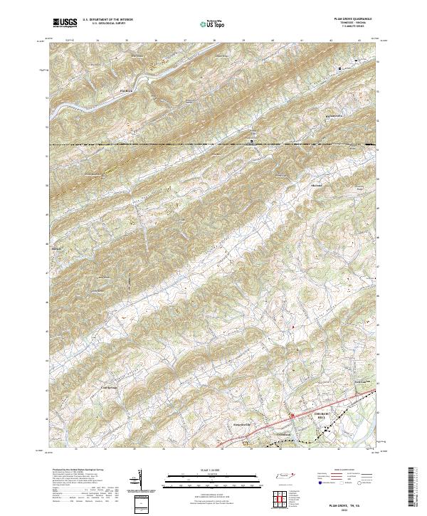
2022 Plum Grove
Hawkins County, TN
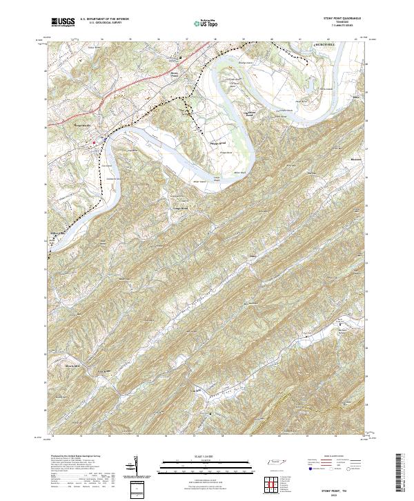
2022 Stony Point
Hawkins County, TN