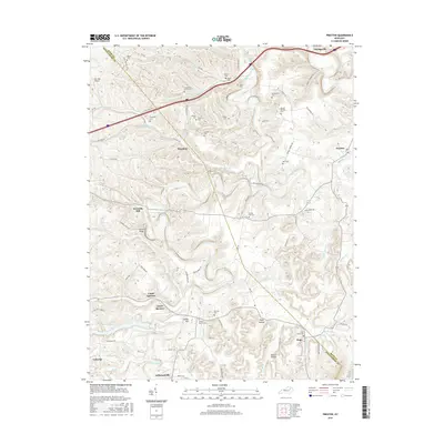
2016 Map of Preston
USGS Topo · Published 2016About this map
Slate Creek and its many winding tributaries, such as Little Slate Cr and Stepstone Cr, carve through the complex topography of the Bath and Montgomery county line. This 2016 survey documents the rural character of the area, anchored by the community of Jeffersonville at the southern edge and Stepstone to the north. The landscape is notably dense with family and community burial grounds, including the Antioch Church Cem, Carpenter- Smith Cem, and Peeled Oak Cem, which serve as vital touchstones for genealogical research in this part of Kentucky.
Find a feature on this map
84 named features on this map. Tap any name to fly to it.
Don’t see what you’re looking for? This feature index may not catch every label — zoom into the map to look around manually.
Map Details
Editions of this 2016 Preston Map
This is the sole edition of this map. No revisions or reprints were ever made.
Other maps of this area

1892 · Beattyville
USGS Topo · 1:125,000

1929 · Salt Lick
USGS Topo · 1:62,500

1934 · Salt Lick
USGS Topo · 1:62,500

1950 · Levee
USGS Topo · 1:24,000

1952 · Preston
USGS Topo · 1:24,000

1952 · Owingsville
USGS Topo · 1:24,000

1952 · Sharpsburg
USGS Topo · 1:24,000

1952 · Mount Sterling
USGS Topo · 1:24,000

1952 · Frenchburg
USGS Topo · 1:24,000

1952 · Means
USGS Topo · 1:24,000