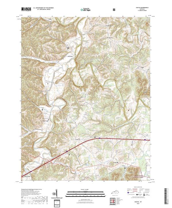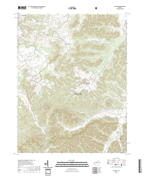
2022 Map of Preston
USGS Topo · Published 2022About this map
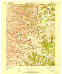
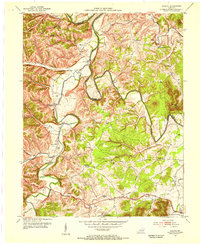
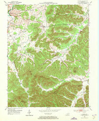
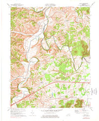
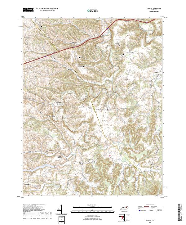
Slate Creek and its many tributaries, including Greenbrier Creek and Stepstone Cr, carve a complex landscape across the border of Bath and Montgomery counties. This area is defined by a dense network of small rural settlements such as Stepstone, Howards Mill, and Jeffersonville, connected by winding routes like Howards Mill Rd and Peeled Oak Rd. The map reveals a high concentration of family-named burial sites, including the Thompson Cem, Powers Cem, and Carpenter Smith Cem, reflecting generations of local residency. In the northern reaches, the path of I-64 cuts a modern line near Owingsville, while the interior remains dominated by hollows like Foley Hollow and Sponcil Hollow. The presence of the Antioch Church and the One Oak Airport underscores the mix of traditional community centers and small-scale aviation infrastructure that persists in this part of Kentucky.
Find a feature on this map
101 named features on this map. Tap any name to fly to it.
Don’t see what you’re looking for? This feature index may not catch every label — zoom into the map to look around manually.
Map Details
Editions of this 2022 Preston Map
This is the sole edition of this map. No revisions or reprints were ever made.
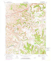
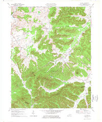
Historical Maps of Upper Spencer Through Time
9 maps found