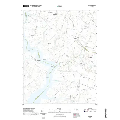
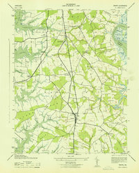
2019 Map of Preston
USGS Topo · Published 2019About this map
The Choptank River carves a wide path through the Eastern Shore, defining the border between Talbot, Caroline, and Dorchester counties. This 2019 survey documents a landscape where agricultural tradition meets the tidal intricacies of the Chesapeake watershed. Settlements like Preston and Bethlehem serve as inland hubs, while the riverbanks are marked by prominent points and necks, such as Poplar Neck and Cabin Creek Neck. The distribution of cemeteries, including the Eastern Shore Veterans Cem and historic sites like Bethesda Methodist Cem, provides a significant record of the region's communal history.
Find a feature on this map
116 named features on this map. Tap any name to fly to it.
Don’t see what you’re looking for? This feature index may not catch every label — zoom into the map to look around manually.
Map Details
Editions of this 2019 Preston Map
This is the sole edition of this map. No revisions or reprints were ever made.
Other maps of this area

1898 · Choptank
USGS Topo · 1:125,000

1904 · St. Michaels
USGS Topo · 1:62,500

1904 · Oxford
USGS Topo · 1:62,500

1905 · Denton
USGS Topo · 1:62,500

1905 · Hurlock
USGS Topo · 1:62,500

1908 · Choptank
USGS Topo · 1:125,000
1942 · Easton
USGS Topo · 1:24,000
1942 · Trappe
USGS Topo · 1:24,000
1943 · Easton
USGS Topo · 1:31,680
1943 · Trappe
USGS Topo · 1:31,680