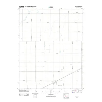
2012 Map of Preston
USGS Topo · Published 2012About this map
Agricultural patterns and small-town infrastructure define this corner of Pratt County, where the settlement of Preston sits at the intersection of local routes like Co Road E and Grant St. The landscape is largely segmented by a grid of rural roads, such as NE 100th St and SE 70th Ave, reflecting the systematic organization of Kansas farmland. Natural drainage is provided by the N Fork Ninnescah River in the northwest and Silver Cr to the south.
Find a feature on this map
33 named features on this map. Tap any name to fly to it.
Don’t see what you’re looking for? This feature index may not catch every label — zoom into the map to look around manually.
Map Details
Editions of this 2012 Preston Map
This is the sole edition of this map. No revisions or reprints were ever made.
Other maps of this area

1892 · Kingman
USGS Topo · 1:125,000

1892 · Pratt
USGS Topo · 1:125,000

1894 · Kingman
USGS Topo · 1:125,000

1894 · Pratt
USGS Topo · 1:125,000

1955 · Pratt
USGS Topo · 1:250,000

1959 · Pratt
USGS Topo · 1:250,000

1966 · Cunningham
USGS Topo · 1:24,000

1967 · Cairo
USGS Topo · 1:24,000

1968 · Pratt
USGS Topo · 1:24,000
1971 · Turon
USGS Topo · 1:24,000