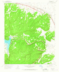
1963 Map of Prewitt
USGS Topo · Published 1966About this map
Prewitt serves as a small rail and highway hub along the Atchison Topeka and Santa Fe railroad in northwestern New Mexico. This mid-1960s landscape shows the critical transition from the high desert plains of the northern corridor into the elevated terrain of the Cibola National Forest. The prominent Salitre Mesa dominates the central portion of the map, deeply incised by drainages like Reynold Draw and Blackjack Arroyo.
Find a feature on this map
19 named features on this map. Tap any name to fly to it.
Don’t see what you’re looking for? This feature index may not catch every label — zoom into the map to look around manually.
Map Details
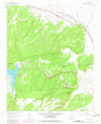
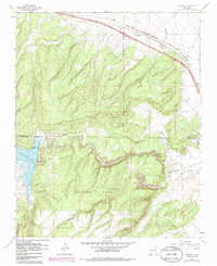
Editions of this 1963 Prewitt Map
3 editions found
Other maps of this area

1883 · Mt. Taylor
USGS Topo · 1:250,000

1886 · Wingate
USGS Topo · 1:250,000

1886 · Mt. Taylor
USGS Topo · 1:250,000

1892 · Wingate
USGS Topo · 1:250,000

1892 · Mt. Taylor
USGS Topo · 1:250,000

1899 · Mt. Taylor
USGS Topo · 1:250,000

1951 · Mt Sedgwick
USGS Topo · 1:24,000

1952 · Post Office Flat
USGS Topo · 1:24,000

1954 · Gallup
USGS Topo · 1:250,000

1957 · Bluewater
USGS Topo · 1:24,000
Featured Places
- Eastern Navajo Agency, NM
- Baca, Eastern Navajo Agency
- McKinley County, NM
- Cibola County, NM
- United States