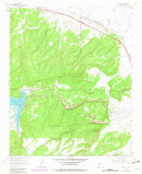
1963 Map of Prewitt
USGS Topo · Published 1981About this map
Prewitt and the adjacent Baca Siding serve as the primary human touchpoints in this high-desert landscape, anchored by the Atchison Topeka and Santa Fe railroad corridor. The terrain is defined by the massive uplift of Salitre Mesa, where steep drainage patterns like Blackjack Arroyo and Reynold Draw carve through the plateau. To the west, Bluewater State Park surrounds the waters of Bluewater Lake, providing a sharp contrast to the arid surroundings and industrial markers like the Pipeline and local Quarry sites.
Find a feature on this map
17 named features on this map. Tap any name to fly to it.
Don’t see what you’re looking for? This feature index may not catch every label — zoom into the map to look around manually.
Map Details
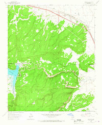
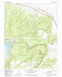
Editions of this 1963 Prewitt Map
3 editions found
Other maps of this area

1883 · Mt. Taylor
USGS Topo · 1:250,000

1886 · Wingate
USGS Topo · 1:250,000

1886 · Mt. Taylor
USGS Topo · 1:250,000

1892 · Wingate
USGS Topo · 1:250,000

1892 · Mt. Taylor
USGS Topo · 1:250,000

1899 · Mt. Taylor
USGS Topo · 1:250,000

1951 · Mt Sedgwick
USGS Topo · 1:24,000

1952 · Post Office Flat
USGS Topo · 1:24,000

1954 · Gallup
USGS Topo · 1:250,000

1957 · Bluewater
USGS Topo · 1:24,000
Featured Places
- Eastern Navajo Agency, NM
- Baca, Eastern Navajo Agency
- McKinley County, NM
- Cibola County, NM
- United States