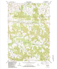
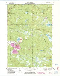
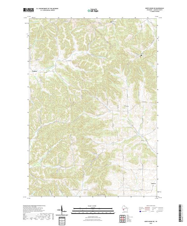
1984 Map of Price
USGS Topo · Published 1984About this map
The Buffalo River and its varied tributaries, including the North Branch Buffalo River and South Fork Buffalo River, anchor this rural landscape along the border of Eau Claire and Jackson counties. The settlement of Price sits near the northern boundary, where the river valley is preserved within the Buffalo State Fishery Area. Transportation history is clearly etched into the terrain, visible in the Old Railroad Grade and the repurposed Buffalo River State Trail.
Find a feature on this map
47 named features on this map. Tap any name to fly to it.
Don’t see what you’re looking for? This feature index may not catch every label — zoom into the map to look around manually.
Map Details
Editions of this 1984 Price Map
This is the sole edition of this map. No revisions or reprints were ever made.
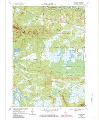
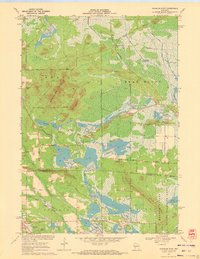
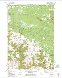
Historical Maps of Northfield Through Time
21 maps found

1926 North Bend
Jackson County, WI

1929 North Bend
Jackson County, WI
1957 City Point
Jackson County, WI
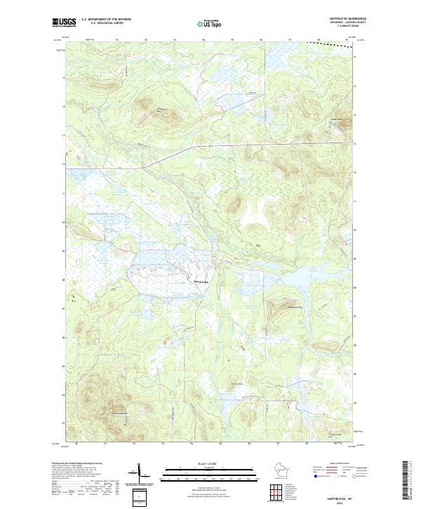
1969 North Bend NE
Jackson County, WI
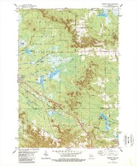
1970 Hatfield SE
Jackson County, WI
1970 Hatfield SW
Jackson County, WI
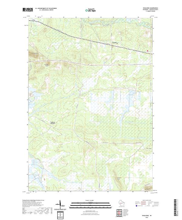
1970 Spaulding
Jackson County, WI
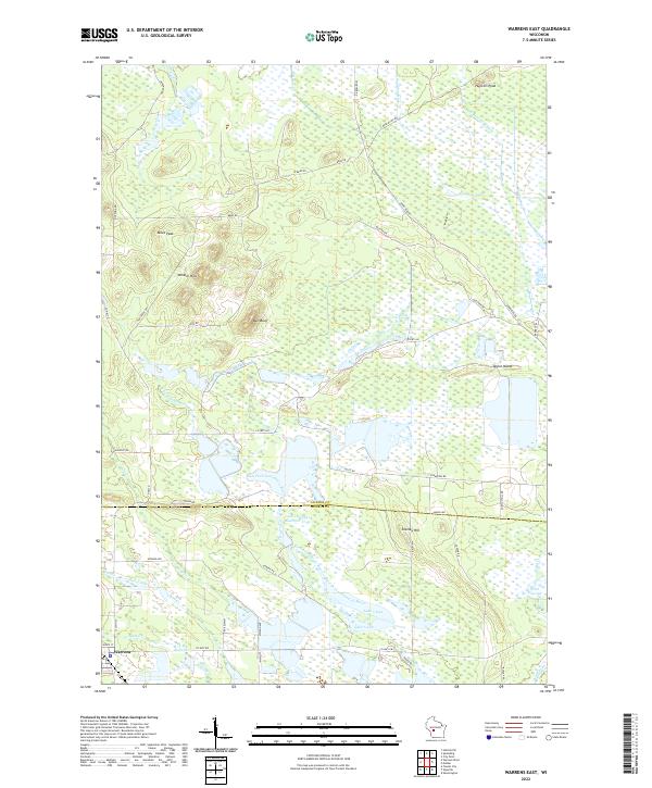
1970 Warrens East
Jackson County, WI
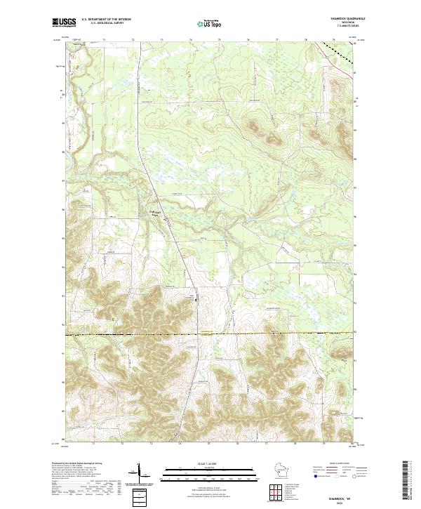
1983 Shamrock
Jackson County, WI
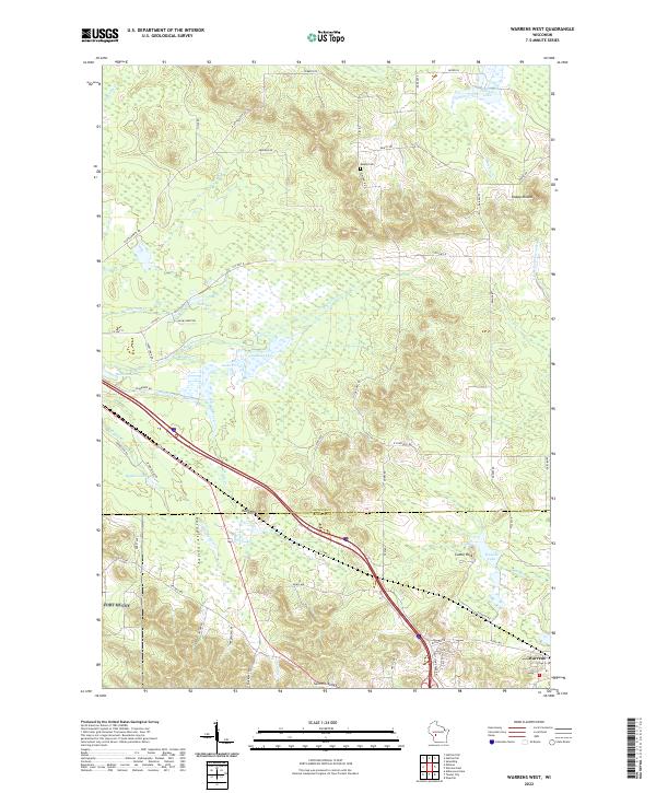
1983 Warrens West
Jackson County, WI
1984 Price
Jackson County, WI

1984 Stenulson Coulee
Jackson County, WI
2022 Hatfield SE
Jackson County, WI
2022 North Bend NE
Jackson County, WI
2022 Price
Jackson County, WI
2022 Shamrock
Jackson County, WI
2022 Spaulding
Jackson County, WI
2022 Warrens East
Jackson County, WI
2022 Warrens West
Jackson County, WI
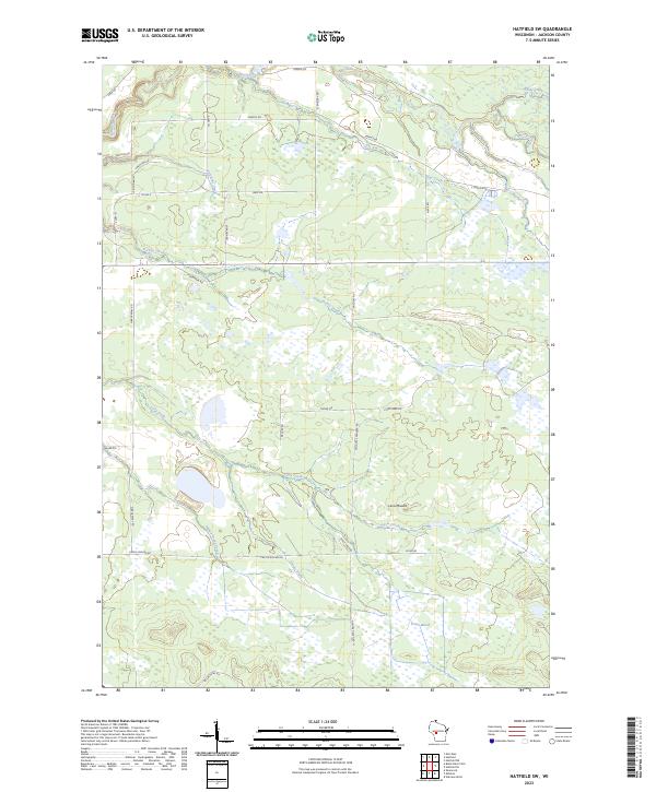
2023 Hatfield SW
Jackson County, WI
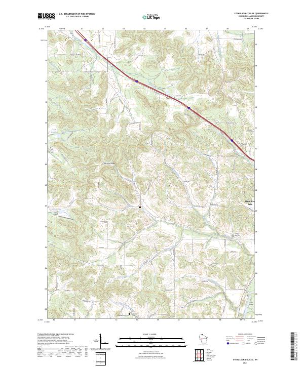
2023 Stenulson Coulee
Jackson County, WI