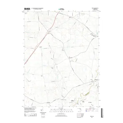
2014 Map of Price
USGS Topo · Published 2014About this map
The agricultural heart of Maryland's Eastern Shore is defined by a dense network of country roads and small crossroads settlements that have anchored this region for generations. Ruthsburg and Price serve as central nodes for the surrounding farmland, while the southern reaches of the map show a transition across the Queen Anne'S Co and Caroline Co border. Drainage here is managed by a complex system of branches and ditches, including Jarmans Branch and the Beaverdam Ditch, which feed into the wider Chesapeake watershed. Local infrastructure is highlighted by crossings like German Branch Bridge and Clucktown Bridge, which connect rural properties to larger thoroughfares like Us-301. Genealogists may find value in the scattered burial grounds such as Mt Olive Cem and Bridgetown Cem, while aviation history is represented by the Church Hill Airport in the northern corner.
Find a feature on this map
78 named features on this map. Tap any name to fly to it.
Don’t see what you’re looking for? This feature index may not catch every label — zoom into the map to look around manually.
Map Details
Editions of this 2014 Price Map
This is the sole edition of this map. No revisions or reprints were ever made.
Other maps of this area

1898 · Choptank
USGS Topo · 1:125,000

1898 · Tolchester
USGS Topo · 1:125,000

1899 · Dover
USGS Topo · 1:125,000

1901 · Chestertown
USGS Topo · 1:62,500

1903 · Tolchester
USGS Topo · 1:125,000

1904 · St. Michaels
USGS Topo · 1:62,500

1905 · Denton
USGS Topo · 1:62,500

1905 · Barclay
USGS Topo · 1:62,500

1906 · Dover
USGS Topo · 1:125,000

1908 · Tolchester
USGS Topo · 1:125,000