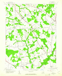
1944 Map of Price
USGS Topo · Published 1961About this map
The agricultural landscape of the Eastern Shore is centered around the Price railroad stop along the Pennsylvania line during the mid-1940s. Small rural clusters like Roberts, Hayden, and Roe punctuate a terrain defined by complex drainage systems, where German Branch and Wildcat Branch move through wooded lowlands. Local social infrastructure is well-represented, from the Roseville Sch near Clark Corners to the Mt Olive Ch south of Hope. To the south, the County Home stands near Ruthsburg, while St Gertrude Academy serves as a significant institutional landmark at the edge of the survey area. This era shows a transition in mobility, with the railroad still a primary artery connecting the smaller settlements to larger markets, while the growing road network links established crossroads like Bridgetown and Ingleside.
Find a feature on this map
21 named features on this map. Tap any name to fly to it.
Don’t see what you’re looking for? This feature index may not catch every label — zoom into the map to look around manually.
Map Details
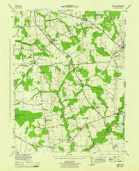
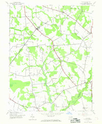
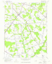
Editions of this 1944 Price Map
4 editions found
Other maps of this area

1898 · Choptank
USGS Topo · 1:125,000

1898 · Tolchester
USGS Topo · 1:125,000

1899 · Dover
USGS Topo · 1:125,000

1901 · Chestertown
USGS Topo · 1:62,500

1903 · Tolchester
USGS Topo · 1:125,000

1904 · St. Michaels
USGS Topo · 1:62,500

1905 · Denton
USGS Topo · 1:62,500

1905 · Barclay
USGS Topo · 1:62,500

1906 · Dover
USGS Topo · 1:125,000

1908 · Tolchester
USGS Topo · 1:125,000