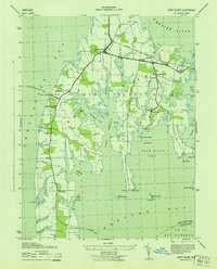
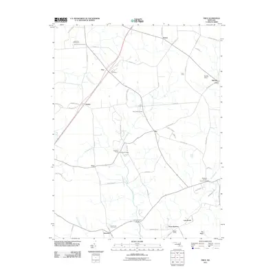
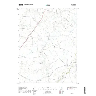
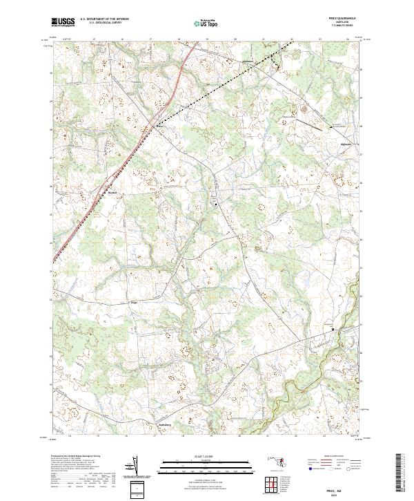
1944 Map of Price
USGS Topo · Published 1976About this map
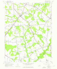
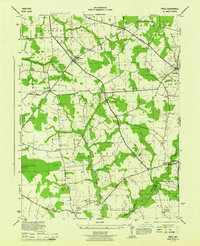
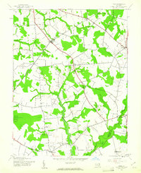
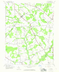
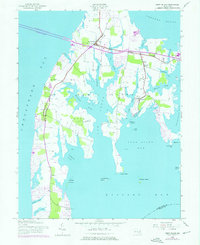
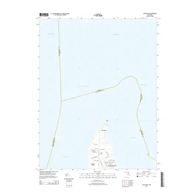
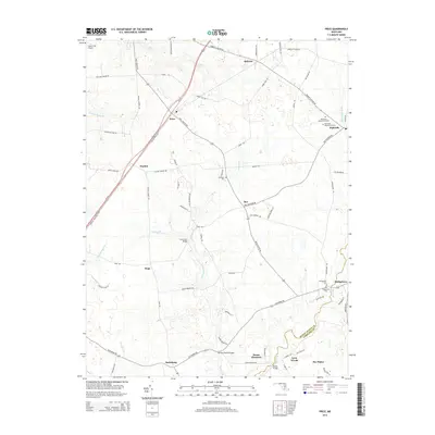
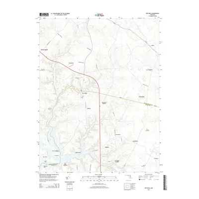
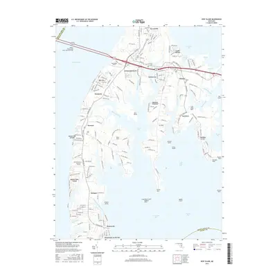
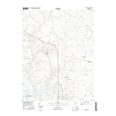
Penn Central rail lines cut a diagonal path across this section of Maryland's Eastern Shore, anchoring a network of small agricultural settlements and rural institutions. The landscape is defined by the winding paths of German Branch and Mason Branch, which drain the low-lying terrain into the larger river systems of the Chesapeake watershed. Historical social infrastructure is well-represented, from the Mt Olive Ch and St Gertrude Academy to the presence of the County Home near Ruthsburg. This survey illustrates the transition from a traditional rail-dependent economy to the modern road network, as local crossroads like Price, Hayden, and Ingleside served as vital hubs for the surrounding farming community. The map also records the boundary between Queen Annes Co and Caroline Co, showing how local geography and drainage features like Beaverdam Ditch helped shape civil divisions.
Find a feature on this map
20 named features on this map. Tap any name to fly to it.
Don’t see what you’re looking for? This feature index may not catch every label — zoom into the map to look around manually.
Map Details
Editions of this 1944 Price Map
4 editions found
Historical Maps of Ingleside Through Time
28 maps found
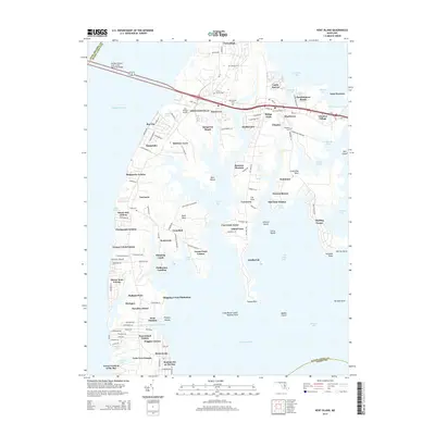
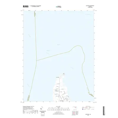
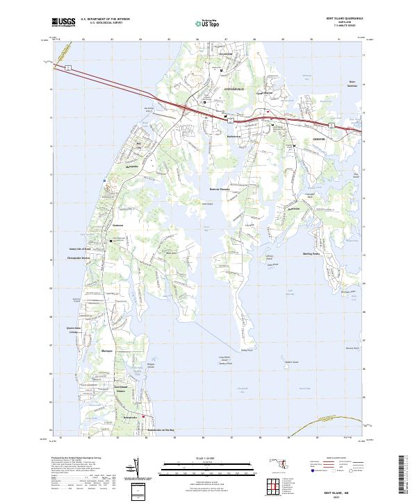
1942 Kent Island
Queen Anne's County, MD
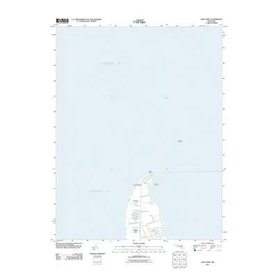
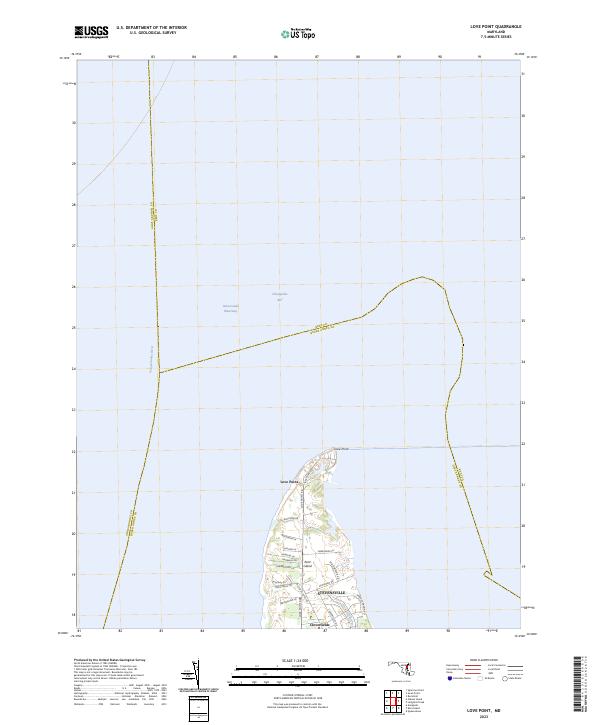
1942 Love Point
Queen Anne's County, MD
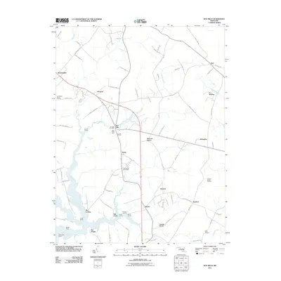
1942 Wye Mills
Queen Anne's County, MD
1943 Centerville
Queen Anne's County, MD
1943 Kent Island
Queen Anne's County, MD
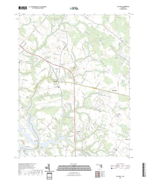
1943 Wye Mills
Queen Anne's County, MD
1944 Price
Queen Anne's County, MD
1953 Love Point
Queen Anne's County, MD
2011 Kent Island
Queen Anne's County, MD
2011 Love Point
Queen Anne's County, MD
2011 Price
Queen Anne's County, MD
2011 Wye Mills
Queen Anne's County, MD
2014 Kent Island
Queen Anne's County, MD
2014 Love Point
Queen Anne's County, MD
2014 Price
Queen Anne's County, MD
2014 Wye Mills
Queen Anne's County, MD
2016 Kent Island
Queen Anne's County, MD
2016 Wye Mills
Queen Anne's County, MD
2017 Love Point
Queen Anne's County, MD
2017 Price
Queen Anne's County, MD
2019 Kent Island
Queen Anne's County, MD
2019 Love Point
Queen Anne's County, MD
2019 Price
Queen Anne's County, MD
2019 Wye Mills
Queen Anne's County, MD
2023 Kent Island
Queen Anne's County, MD
2023 Love Point
Queen Anne's County, MD
2023 Price
Queen Anne's County, MD
2023 Wye Mills
Queen Anne's County, MD