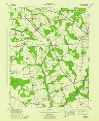
1944 Map of Price
USGS Topo · Published 1944About this map
Pennsylvania railroad tracks cut a diagonal path through the northern landscape of this mid-century survey, passing through the small community of Price. The map reveals a rural agricultural society organized into numbered districts like Church Hill No 2 and Ruthsburg No 6, where life centered around local hubs such as Bethany Church and Roseville Church. The terrain is defined by a network of small waterways, including Granny Finley Branch and German Branch, which are crossed by named structures like Clucktown Bridge. To the south, the St Gertrude Academy and the County Home represent significant institutional landmarks of the era. The presence of numerous designated roads, such as White Marsh Rd and Ruthsburg Road, indicates a well-established connection between the smaller hamlets of Hayden, Roe, and Hope.
Find a feature on this map
36 named features on this map. Tap any name to fly to it.
Don’t see what you’re looking for? This feature index may not catch every label — zoom into the map to look around manually.
Map Details
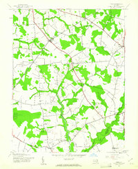
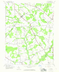
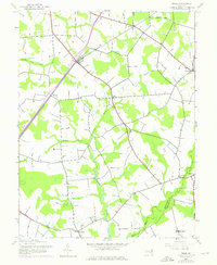
Editions of this 1944 Price Map
4 editions found
Other maps of this area

1898 · Choptank
USGS Topo · 1:125,000

1898 · Tolchester
USGS Topo · 1:125,000

1899 · Dover
USGS Topo · 1:125,000

1901 · Chestertown
USGS Topo · 1:62,500

1903 · Tolchester
USGS Topo · 1:125,000

1904 · St. Michaels
USGS Topo · 1:62,500

1905 · Denton
USGS Topo · 1:62,500

1905 · Barclay
USGS Topo · 1:62,500

1906 · Dover
USGS Topo · 1:125,000

1908 · Tolchester
USGS Topo · 1:125,000