Loading...
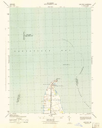
Loading map...1944 Map of Price
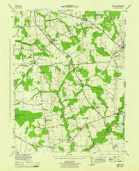
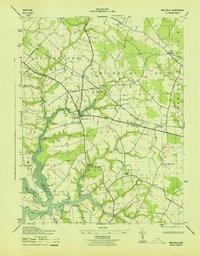
USGS Topo · Published 1944This historical map portrays the area of Price in 1944, primarily covering Queen Anne's County as well as portions of Caroline County. Featuring a scale of 1:31680, this map provides a highly detailed snapshot of the terrain, roads, buildings, counties, and historical landmarks in the Price region at the time. Published in 1944, it is one of 4 known editions of this map due to revisions or reprints.
Map Details
Date Portrayed1944
Date Published1944
PublisherU.S. Geological Survey
Map TypeTopographic
Scale1:31680
Physical Dimensions17.1 x 21 inches
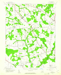
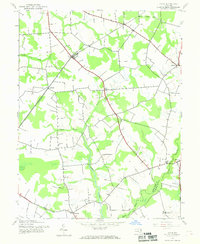
Editions of this 1944 Price Map
4 editions found
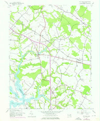
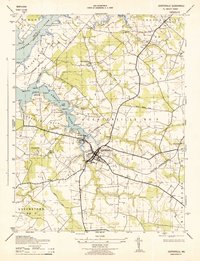
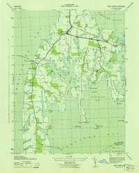
Historical Maps of Hope Through Time
8 maps found
1942 Kent Island
Queen Anne's County, MD
1942 Love Point
Queen Anne's County, MD
1942 Wye Mills
Queen Anne's County, MD
1943 Centerville
Queen Anne's County, MD
1943 Kent Island
Queen Anne's County, MD
1943 Wye Mills
Queen Anne's County, MD
1944 Price
Queen Anne's County, MD
1953 Love Point
Queen Anne's County, MD
Featured Locations
Source Details
SourceU.S. Geological Survey
CopyrightPublic Domain