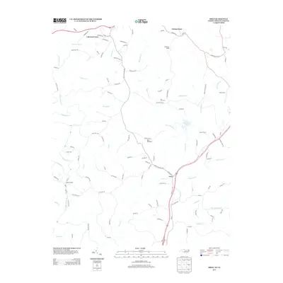
2013 Map of Price
USGS Topo · Published 2013About this map
Price sits at a crossroads of the Rockingham County landscape where the N Mayo River and S Mayo River converge. This 2013 digital survey illustrates the contemporary settlement patterns along the North Carolina and Virginia border, featuring residential developments like Lakewood Forest alongside established landmarks such as Anglins Bridge. The topography is defined by significant elevations, including Chestnut Knob and Holt Mountain, which influence the drainage of numerous watercourses like Jumping Br and Stillhouse Run.
Find a feature on this map
104 named features on this map. Tap any name to fly to it.
Don’t see what you’re looking for? This feature index may not catch every label — zoom into the map to look around manually.
Map Details
Editions of this 2013 Price Map
This is the sole edition of this map. No revisions or reprints were ever made.
Other maps of this area

1924 · Martinsville
USGS Topo · 1:48,000

1926 · Martinsville
USGS Topo · 1:62,500

1926 · Critz
USGS Topo · 1:48,000

1927 · Martinsville
USGS Topo · 1:62,500

1928 · Critz
USGS Topo · 1:62,500

1944 · Martinsville
USGS Topo · 1:62,500

1953 · Winston-Salem
USGS Topo · 1:250,000

1953 · Greensboro
USGS Topo · 1:250,000

1954 · Greensboro
USGS Topo · 1:250,000

1955 · Winston-Salem
USGS Topo · 1:250,000