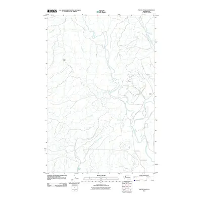
2011 Map of Prices Peak
USGS Topo · Published 2011About this map
Prices Peak dominates the northwestern terrain of this Olympic Peninsula landscape, standing as a high point above a complex network of drainages. The map reveals a heavily managed forest environment defined by numerous arterial forest roads, such as the A-Line and D-Line, which weave through the ridges to support local timber and resource operations like the Studer Quarry. This area is most notably characterized by the convergence of the Satsop drainage system, including the West Fork Satsop River, Middle Fork Satsop River, and East Fork Satsop River. In the southern reaches, the waters of East Fork Sylvia Creek and West Fork Sylvia Creek flow toward the recreational basin of Sylvia Lake. The transition from industrial logging roads in the north to residential corridors like Satsop Riviera Loop in the southeast illustrates the region's dual identity as both a working forest and a rural residential retreat.
Find a feature on this map
48 named features on this map. Tap any name to fly to it.
Don’t see what you’re looking for? This feature index may not catch every label — zoom into the map to look around manually.
Map Details
Editions of this 2011 Prices Peak Map
This is the sole edition of this map. No revisions or reprints were ever made.
Other maps of this area

1940 · Montesano
USGS Topo · 1:62,500

1941 · Mobray
USGS Topo · 1:62,500

1941 · Ford
USGS Topo · 1:62,500

1943 · Nahwatzel Lake
USGS Topo · 1:62,500

1943 · Mobray
USGS Topo · 1:62,500

1953 · Hoquiam
USGS Topo · 1:250,000

1953 · Malone
USGS Topo · 1:62,500

1953 · Elma
USGS Topo · 1:62,500

1955 · Montesano
USGS Topo · 1:62,500

1955 · Wynoochee Valley
USGS Topo · 1:62,500