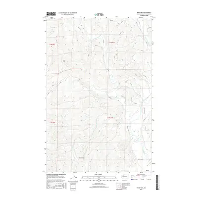
2017 Map of Prices Peak
USGS Topo · Published 2017About this map
Montesano and the nearby community of Brady serve as the primary human anchors in this landscape defined by the complex drainage of the Satsop River. The map meticulously details the river's various branches, including the West Fork, Middle Fork, and East Fork, which converge in a broad, braided valley. This hydrological network is complemented by the headwaters of W Fork Sylvia Cr and E Fork Sylvia Cr, which feed into Sylvia Lake near the Montesano city limits. Higher elevations are represented by Prices Peak, while the interior terrain is marked by an extensive system of logging and access roads, such as Satsop Rd W and A-Line. The contrast between the organized grid of the town sites and the sinuous, shifting paths of the river channels illustrates the ongoing relationship between local settlement and the powerful fluvial systems of western Washington.
Find a feature on this map
88 named features on this map. Tap any name to fly to it.
Don’t see what you’re looking for? This feature index may not catch every label — zoom into the map to look around manually.
Map Details
Editions of this 2017 Prices Peak Map
This is the sole edition of this map. No revisions or reprints were ever made.
Other maps of this area
1940 · Montesano
USGS Topo · 1:62,500
1941 · Mobray
USGS Topo · 1:62,500
1941 · Ford
USGS Topo · 1:62,500
1943 · Nahwatzel Lake
USGS Topo · 1:62,500
1943 · Mobray
USGS Topo · 1:62,500

1953 · Hoquiam
USGS Topo · 1:250,000
1953 · Malone
USGS Topo · 1:62,500
1953 · Elma
USGS Topo · 1:62,500
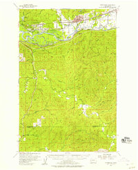
1955 · Montesano
USGS Topo · 1:62,500
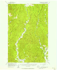
1955 · Wynoochee Valley
USGS Topo · 1:62,500