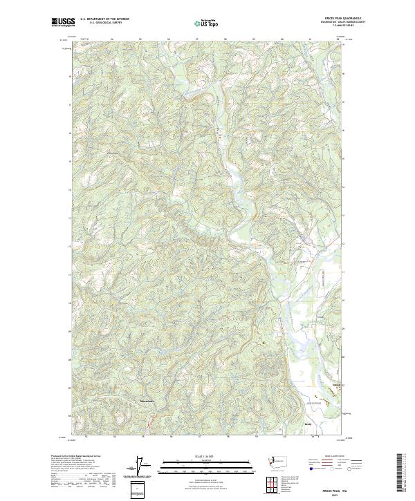
2023 Map of Prices Peak
USGS Topo · Published 2023About this map
Montesano sits at the southern edge of this landscape, where the valley floor meets the rising timberlands of the Olympic Peninsula. The region is defined by the complex drainage of the Satsop River system, including the confluence of the West Fork Satsop River, Middle Fork Satsop River, and East Fork Satsop River. These waterways, along with Metcalf Slough, historically supported the timber and agricultural economies of Brady and Satsop.
Find a feature on this map
56 named features on this map. Tap any name to fly to it.
Don’t see what you’re looking for? This feature index may not catch every label — zoom into the map to look around manually.
Map Details
Editions of this 2023 Prices Peak Map
This is the sole edition of this map. No revisions or reprints were ever made.
Other maps of this area

1940 · Montesano
USGS Topo · 1:62,500

1941 · Mobray
USGS Topo · 1:62,500

1941 · Ford
USGS Topo · 1:62,500

1943 · Nahwatzel Lake
USGS Topo · 1:62,500

1943 · Mobray
USGS Topo · 1:62,500

1953 · Hoquiam
USGS Topo · 1:250,000

1953 · Malone
USGS Topo · 1:62,500

1953 · Elma
USGS Topo · 1:62,500

1955 · Montesano
USGS Topo · 1:62,500

1955 · Wynoochee Valley
USGS Topo · 1:62,500