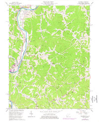
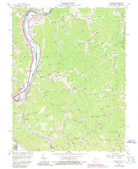
1962 Map of Prichard
USGS Topo · Published 1977About this map
The Big Sandy River forms the vital border between West Virginia and Kentucky, serving as a corridor for the Norfolk and Western Railway and the Chesapeake and Ohio Railway. Along the river banks, the settlements of Prichard and Hubbardstown anchor a landscape defined by its extractive industry, including the Hurricane Strip Mine and the Mineral Springs Mine. A significant tipple and various gas wells demonstrate the intensive energy production of the era, while scattered family-named cemeteries and rural institutions like Brick Church and Shiloh Ch point to deeply rooted local lineages.
Find a feature on this map
96 named features on this map. Tap any name to fly to it.
Don’t see what you’re looking for? This feature index may not catch every label — zoom into the map to look around manually.
Map Details
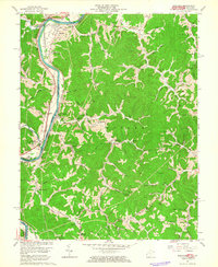
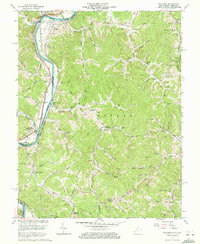
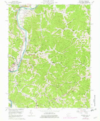
Editions of this 1962 Prichard Map
5 editions found
Other maps of this area

1892 · Huntington
USGS Topo · 1:125,000

1898 · Huntington
USGS Topo · 1:125,000

1901 · Guyandot
USGS Topo · 1:62,500

1901 · Ceredo
USGS Topo · 1:62,500

1902 · Guyandot
USGS Topo · 1:62,500

1903 · Kenova
USGS Topo · 1:125,000

1904 · Kenova
USGS Topo · 1:125,000

1909 · Wayne
USGS Topo · 1:62,500

1911 · Louisa
USGS Topo · 1:48,000

1913 · Ceredo
USGS Topo · 1:62,500