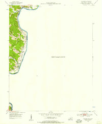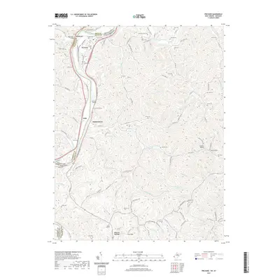
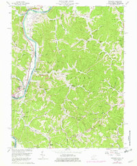
1962 Map of Prichard
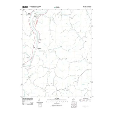
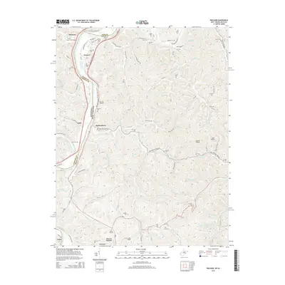
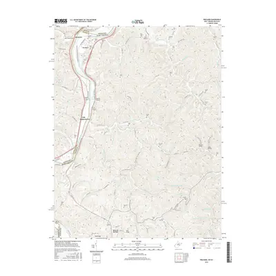
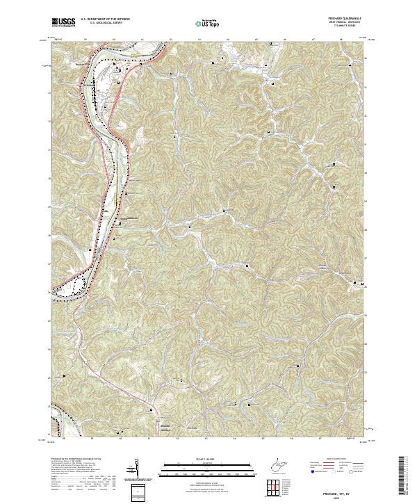
USGS Topo · Published 1989About this map
The Big Sandy River forms a winding border between West Virginia and Kentucky, serving as the dominant geographic feature for the small river towns of Prichard and Fort Gay. This early 1960s landscape is shaped by the presence of the Norfolk and Western railroad corridor and a series of industrial and community sites, including the Hurricane Mine and Mineral Springs Mine. The map reveals a dense network of family-named landmarks and rural institutions, such as Hodge Memorial Ch, Smith Sch, and numerous small burial grounds like Shannon Cem and Wellman Cem. Along the riverbank, the settlement at Catalpa and the community at Hubbardstown highlight the historical importance of the valley for transportation and local commerce. Moving inland, the terrain transitions into a series of hollows and ridges like Belcher Hollow and Pine Ridge, where narrow creek valleys supported generations of residents.
Find a feature on this map
79 named features on this map. Tap any name to fly to it.
Don’t see what you’re looking for? This feature index may not catch every label — zoom into the map to look around manually.
Map Details
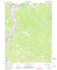
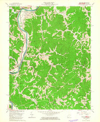
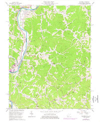
Editions of this 1962 Prichard Map
5 editions found

Historical Maps of Louisa Through Time
7 maps found