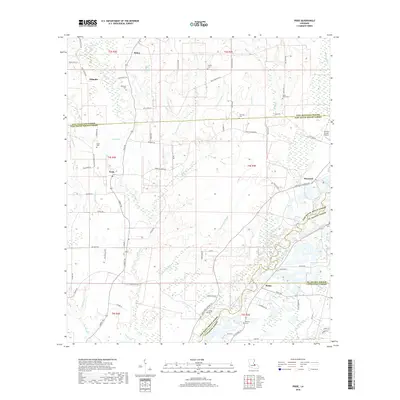
2018 Map of Pride
USGS Topo · Published 2018About this map
The Amite River meanders through this landscape where East Feliciana, East Baton Rouge, St. Helena, and Livingston Parishes converge. This 2018 survey reveals a terrain defined by complex bayou systems and creek drainages, including Beaver Pond Bayou, Sandy Cr, and Wind Bayou. Small settlements like Pride, Baywood, and Weiss anchor the road network, which is composed of winding parish roads and lanes named for local families. Genealogists and local historians will find a high density of burial grounds throughout the area, such as South Union Cem, Mahoney Cem, and Drehr Cem, often tucked away near established family routes like Ezra Courtney Ln or McKnight Rd. The presence of the Overton Private Airport near the St. Helena Parish line and several named ridges suggests a rural community that balances traditional agricultural land use with small-scale private aviation.
Find a feature on this map
85 named features on this map. Tap any name to fly to it.
Don’t see what you’re looking for? This feature index may not catch every label — zoom into the map to look around manually.
Map Details
Editions of this 2018 Pride Map
This is the sole edition of this map. No revisions or reprints were ever made.
Other maps of this area

1906 · Bayou Sara
USGS Topo · 1:125,000

1939 · Zachary
USGS Topo · 1:62,500

1941 · Gilead
USGS Topo · 1:31,680

1942 · Pine Grove
USGS Topo · 1:31,680

1942 · Pride
USGS Topo · 1:31,680

1942 · Gilead
USGS Topo · 1:31,680

1942 · Watson
USGS Topo · 1:31,680

1942 · Satsuma
USGS Topo · 1:31,680

1946 · Clinton
USGS Topo · 1:31,680

1949 · Bluff Creek
USGS Topo · 1:31,680