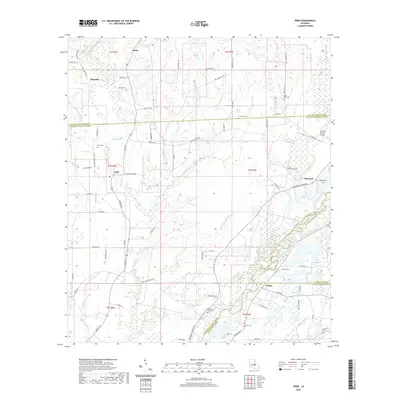
2020 Map of Pride
USGS Topo · Published 2020About this map
Amite River drainage patterns define the landscape where East Feliciana and East Baton Rouge parishes meet. The area is characterized by a dense network of waterways including Beaver Pond Bayou, Sandy Cr, and Cotton Cr, which thread through the small settlements of Pride, Baywood, and Weiss. For genealogists, the map is particularly detailed regarding burial sites, noting family and community landmarks such as Mahoney Cem, South Union Cem, and Drehr Cem across the rural townships.
Find a feature on this map
89 named features on this map. Tap any name to fly to it.
Don’t see what you’re looking for? This feature index may not catch every label — zoom into the map to look around manually.
Map Details
Editions of this 2020 Pride Map
This is the sole edition of this map. No revisions or reprints were ever made.
Other maps of this area

1906 · Bayou Sara
USGS Topo · 1:125,000

1939 · Zachary
USGS Topo · 1:62,500

1941 · Gilead
USGS Topo · 1:31,680

1942 · Pine Grove
USGS Topo · 1:31,680

1942 · Pride
USGS Topo · 1:31,680

1942 · Gilead
USGS Topo · 1:31,680

1942 · Watson
USGS Topo · 1:31,680

1942 · Satsuma
USGS Topo · 1:31,680

1946 · Clinton
USGS Topo · 1:31,680

1949 · Bluff Creek
USGS Topo · 1:31,680