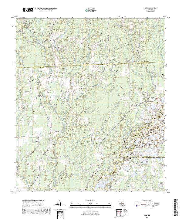
2024 Map of Pride
USGS Topo · Published 2024About this map
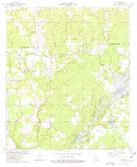
Amite River drainage patterns and the rural convergence of four Louisiana parishes define this modern landscape. Centered near the settlement of Pride, the terrain is marked by a dense network of watercourses including Sandy Creek, Mill Creek, and Spillers Creek, which flow through the low-lying wetlands of East Baton Rouge Parish and its neighbors. The map reveals a tapestry of family-named landmarks and rural burial grounds, such as Mahoney Cem, Drehr Cem, and Stoney Point Cem, which provide essential touchstones for local genealogical research.
Find a feature on this map
92 named features on this map. Tap any name to fly to it.
Don’t see what you’re looking for? This feature index may not catch every label — zoom into the map to look around manually.
Map Details
Editions of this 2024 Pride Map
This is the sole edition of this map. No revisions or reprints were ever made.
Historical Maps of Pride Through Time
26 maps found

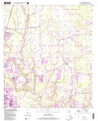
1942 Pride
East Baton Rouge Parish, LA

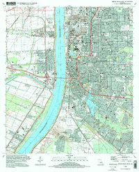
1953 Baton Rouge East
East Baton Rouge Parish, LA

1953 Baton Rouge West
East Baton Rouge Parish, LA
1953 Comite
East Baton Rouge Parish, LA

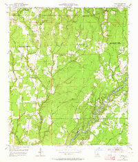
1954 Fred
East Baton Rouge Parish, LA
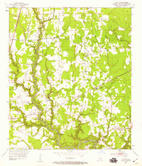
1954 Pride
East Baton Rouge Parish, LA

1954 Scotlandville
East Baton Rouge Parish, LA
1962 Comite
East Baton Rouge Parish, LA
1963 Baton Rouge East
East Baton Rouge Parish, LA
1963 Baton Rouge West
East Baton Rouge Parish, LA
1963 Fred
East Baton Rouge Parish, LA
1963 Scotlandville
East Baton Rouge Parish, LA
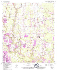
1980 Pride
East Baton Rouge Parish, LA
1992 Baton Rouge East
East Baton Rouge Parish, LA
1992 Baton Rouge West
East Baton Rouge Parish, LA
1995 Baton Rouge East
East Baton Rouge Parish, LA
1995 Baton Rouge West
East Baton Rouge Parish, LA

1995 Scotlandville
East Baton Rouge Parish, LA
1996 Comite
East Baton Rouge Parish, LA

1998 Fred
East Baton Rouge Parish, LA
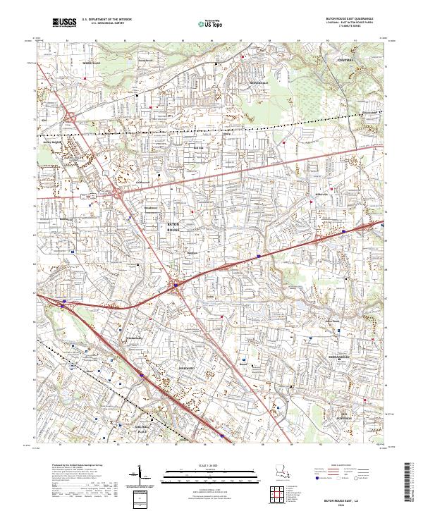
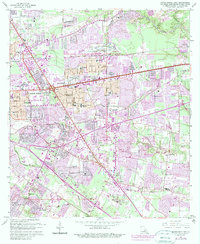
2024 Baton Rouge East
East Baton Rouge Parish, LA
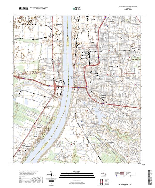
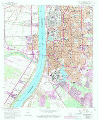
2024 Baton Rouge West
East Baton Rouge Parish, LA
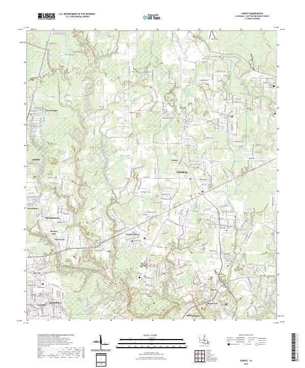
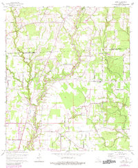
2024 Comite
East Baton Rouge Parish, LA
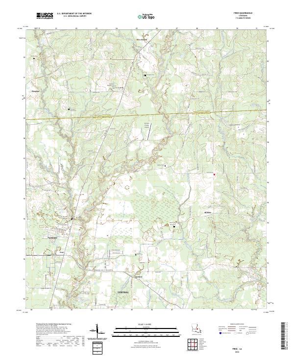
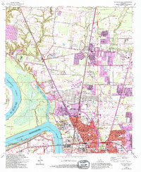
2024 Fred
East Baton Rouge Parish, LA
2024 Pride
East Baton Rouge Parish, LA
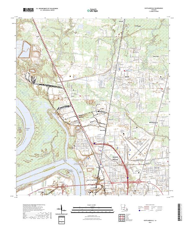
2024 Scotlandville
East Baton Rouge Parish, LA