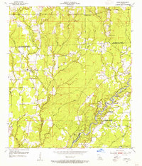
1954 Map of Pride
USGS Topo · Published 1955About this map
Amite River meanders through the southeastern portion of this mid-century survey, defining the boundary between St. Helena, Livingston, and East Baton Rouge parishes. The landscape is characterized by a dense network of bayous and creeks, including Sandy Creek, Whitten Creek, and Bayou Sealous, which carved the undulating terrain before extensive modern development. Small communities and family landmarks are scattered throughout, such as the settlement at Pride and the rural intersection of Oaknolia.
Find a feature on this map
44 named features on this map. Tap any name to fly to it.
Don’t see what you’re looking for? This feature index may not catch every label — zoom into the map to look around manually.
Map Details
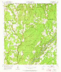
Editions of this 1954 Pride Map
2 editions found
Other maps of this area

1906 · Bayou Sara
USGS Topo · 1:125,000

1939 · Zachary
USGS Topo · 1:62,500

1941 · Gilead
USGS Topo · 1:31,680

1942 · Pine Grove
USGS Topo · 1:31,680

1942 · Pride
USGS Topo · 1:31,680

1942 · Gilead
USGS Topo · 1:31,680

1942 · Watson
USGS Topo · 1:31,680

1942 · Satsuma
USGS Topo · 1:31,680

1946 · Clinton
USGS Topo · 1:31,680

1949 · Bluff Creek
USGS Topo · 1:31,680