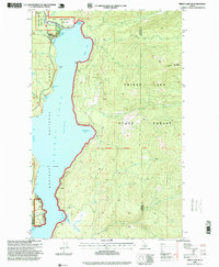
1996 Map of Priest Lake NE
USGS Topo · Published 1999About this map
Upper Priest Lake and the northern reaches of the main lake body dominate this 1996 revision, showing the transition between the Kaniksu National Forest and the Priest Lake State Forest. A critical waterway known as The Thorofare connects the two lakes, passing through the KNF Scenic Area near Armstrong Meadows. The shoreline is a focus of recreational development and conservation, featuring the Priest Lake State Park (Lionhead Unit) and the Lakeshore Trail.
Find a feature on this map
46 named features on this map. Tap any name to fly to it.
Don’t see what you’re looking for? This feature index may not catch every label — zoom into the map to look around manually.
Map Details
Editions of this 1996 Priest Lake NE Map
This is the sole edition of this map. No revisions or reprints were ever made.
Other maps of this area

1911 · Priest Lake
USGS Topo · 1:250,000

1913 · Priest Lake
USGS Topo · 1:250,000

1958 · Sandpoint
USGS Topo · 1:250,000

1963 · Sandpoint
USGS Topo · 1:250,000

1967 · Priest Lake SE
USGS Topo · 1:24,000

1967 · Priest Lake NE
USGS Topo · 1:24,000

1967 · Priest Lake NW
USGS Topo · 1:24,000

1967 · The Wigwams
USGS Topo · 1:24,000

1967 · Mount Roothaan
USGS Topo · 1:24,000
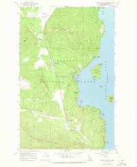
1967 · Priest Lake SW
USGS Topo · 1:24,000