
1967 Map of The Wigwams
USGS Topo · Published 1971About this map
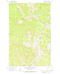
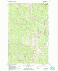
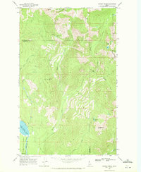
The Wigwams and the high ridges of the Selkirk Mountains dominate this late 1960s survey of the northern Idaho panhandle. The terrain is defined by dramatic granite summits and alpine basins, including Kent Peak and Harrison Peak, which overlook a network of glacial tarns such as Harrison Lake, the Two Mouth Lakes, and Beehive Lakes. The intricate drainage patterns of Myrtle Creek and Two Mouth Creek illustrate the watershed of the Kaniksu National Forest, where conservation efforts are evident in the designated Myrtle Creek Game Preserve. Human presence is minimal, marked only by remote trails and a few rugged jeep trails that navigate the steep slopes between Temple Mtn and Goblin Knob. The map provides a detailed view of the high-altitude landscape before the expansion of modern recreational infrastructure, recording the wilderness character of the Pack River headwaters.
Find a feature on this map
27 named features on this map. Tap any name to fly to it.
Don’t see what you’re looking for? This feature index may not catch every label — zoom into the map to look around manually.
Map Details
Editions of this 1967 The Wigwams Map
Other maps of this area

1911 · Priest Lake
USGS Topo · 1:250,000

1913 · Priest Lake
USGS Topo · 1:250,000

1958 · Sandpoint
USGS Topo · 1:250,000

1963 · Sandpoint
USGS Topo · 1:250,000

1967 · Priest Lake SE
USGS Topo · 1:24,000

1967 · Priest Lake NE
USGS Topo · 1:24,000
1967 · Roman Nose
USGS Topo · 1:24,000

1967 · Mount Roothaan
USGS Topo · 1:24,000
1967 · Dodge Peak
USGS Topo · 1:24,000
1969 · Caribou Creek
USGS Topo · 1:24,000